
Comprehensive and Critical Period Monitoring Program to Evaluate the Effects of Variable Flow on Biological Resources in the San Marcos Springs/River Aquatic Ecosystem Final 2012 Annual Report
| Summary |
|
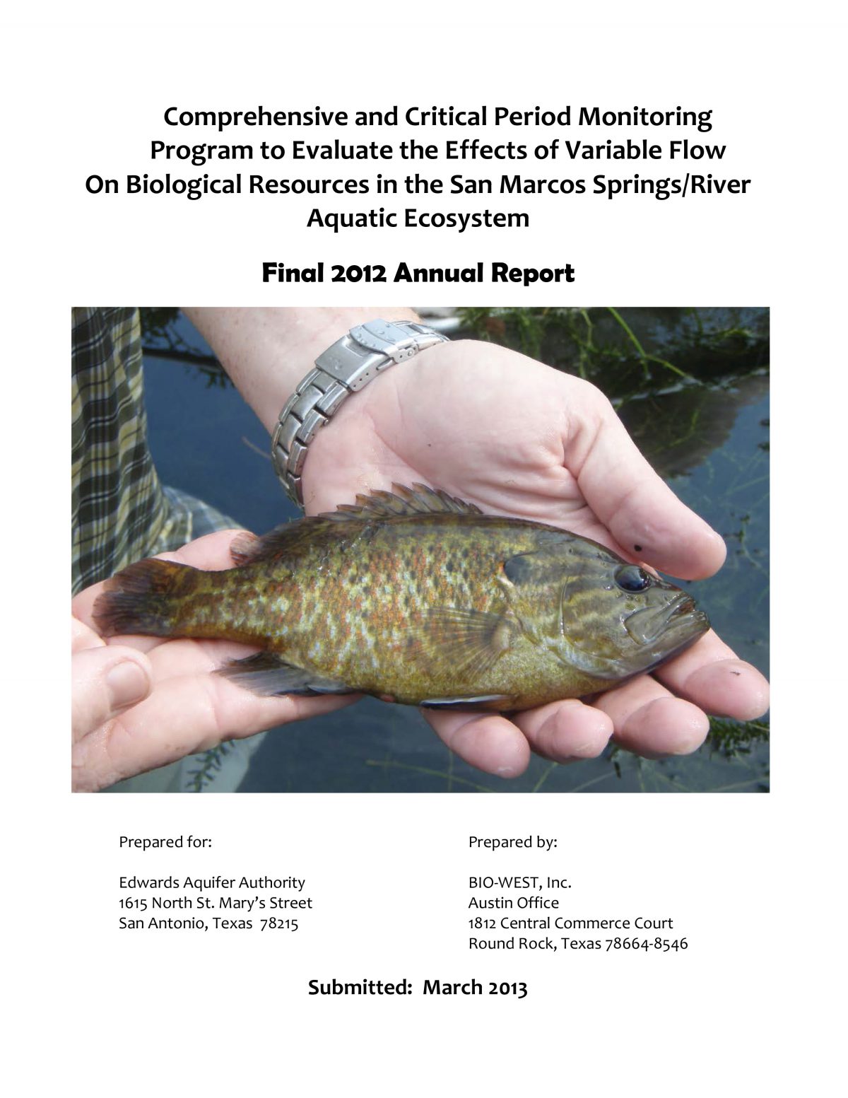
This annual summary report presents a synopsis of methodology used and an account of sampling activities conducted during two Comprehensive Monitoring sampling efforts on the San Marcos Springs/River ecosystem in 2012. For ease of comparison, the data are reported in an annual report format similar to previous reports (BIO-WEST 2001a, b – 2012a, b). Flows in the San Marcos River began the year below the historic average, but spring rains bumped flows above 200 cubic feet per second (cfs) from April to July. This was the first time since October 2010 that flows were above 200 cfs. Summer and fall saw little rainfall resulting in flows declining to below 125 cfs to end the year. The minimum discharge in 2012 was 100 cfs (this occurred several times in January). These lower than average flows are a reflection of the ongoing drought in Central Texas. Close to spring inputs there was little variation in water temperatures even though flows were below average. Water temperatures were highest at Sessom’s Creek (tributary heavily influenced by runoff) and Rio Vista Dam (where water is pooled by the rapids downstream). Total amounts of aquatic vegetation in each of the three reaches (Spring Lake Dam, City Park, and I-35) were below the fall and spring averages observed in this study. Vegetation at the City Park Reach is Coverage of Texas wild-rice (Zizania texana) increased by 16% since 2011 resulting in the highest amount (4,367.1 m2) observed in the San Marcos River since the inception of the study. The largest increases were observed within the upper-third of the river where most of the wild-rice is located. Although one large stand at Sewell Park continues to shrink due to sedimentation blocking flow from the upstream end; however, other plants in the area continue to flourish. Texas wild-rice from the City Park Reach to Bicentennial Park increased by 35% from 2011. Coverage of wild-rice in areas downstream changed little over the year. Physical observations of vulnerable Texas wild-rice plants documented changes in several individual plants during 2012. More plants were emergent and Population estimates of fountain darters (Etheostoma fonticola) were relatively high in spring 2012, but decreased to the lowest estimate observed in the study (2000 – 2012) by fall. These estimates are based on aquatic vegetation coverage and consequently follow the same pattern. Continued effects of the dam and recreation pressure during the summer both caused decreases in aquatic vegetation coverage in the I-35 Reach. This was exacerbated by a fallen tree which diverted flow and scoured out a previously vegetated area. As discharge increases, the number of fountain darters in each drop net tends to San Marcos salamander (Eurycea nana) densities were typically higher than average in 2012 at all sites. The highest densities were observed at the Hotel Reach where bryophytes are abundant resulting in higher quality habitat. Salamander densities in this area were higher than the study average in both In conclusion, although Central Texas continues to be plagued by a drought, 2012 monitoring activities suggest that populations of threatened and endangered species in the San Marcos Springs/River Ecosystem continue to persist despite the mixed effects of the drought. In fact, coverage of Texas wild-rice reached a new monitoring plan high. Similarly, San Marcos salamander densities were above study averages. In contrast, fountain darter population estimates reached a new low in 2012. However, a spring rebound in population estimates is typically experienced, and is expected by spring 2013. Should |
Search for Documents
Advance Search
Explore EAA's Scientific Reports
- All Reports
- RZ Protection
- Aquifer Levels
- Remote Sensing
- Precipitation
- Overview Studies
- Modeling
- Hydrology and Hydrogeology
- History
- Groundwater Recharge, Recharge Zone
- Groundwater Movement
- Geomorphology and Caves
- Weather Modification
- Geology
- Water Use and Conservation
- Geochemistry
- Water Resources Planning and Management
- Floods and Drought
- Water Quality
- Climatology
- Surface Water / Groundwater Relationship
- Biology
- Springs, Groundwater Discharge
- Archaeology