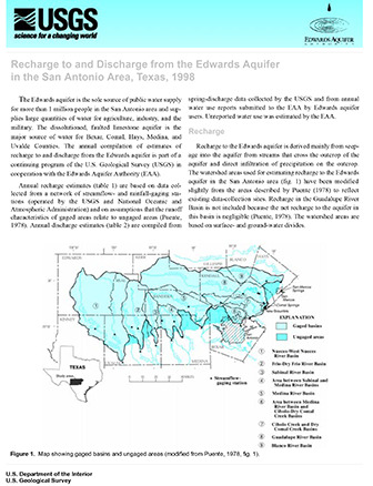
Recharge to and Discharge from the Edwards Aquifer in the San Antonio Area, Texas, 1998

| Author | Slattery RN and Brown DS |
| Year | 1999 |
| Description | Short report summarizing recharge and discharge to and from the Edwards Aquifer from 1934-1998 |
| Report Number | http://tx.usgs.gov/reports/dist/dist-1999-01/ |
| Publisher | US Geological Survey and Edwards Aquifer Authority |
| Location | Edwards Aquifer Balcones Fault Zone San Antonio Region |
| Cover | View Download |
| File | View Download |
| Summary |
|
The estimated annual recharge for 1998 is 1,142,300 acre-feet (acre-ft). The estimated annual recharge for 1934–98 (table 1) ranges from 43,700 acre-ft in 1956 to 2,486,000 acre-ft in 1992. The average and median estimated annual recharge for 1934–98 are 683,100 and 556,100 acre-ft, respectively. The estimated annual discharge from wells and springs during 1998 is 915,900 acre-ft. The estimated annual discharge from wells and springs for 1934–98 (table 2) ranges from 388,800 acre-ft in 1955 to 1,130,000 acre-ft in 1992. The 1934–98 estimated annual discharge from wells ranges from 101,900 acre-ft in 1934 to 542,400 acre-ft in 1989. Discharge from San Marcos and Comal Springs (371,100 acre-ft) accounted for about 80 percent of spring discharge during 1998. The remaining spring discharge was from Hueco Springs in Comal County, San Pedro and San Antonio Springs in Bexar County, and Leona Springs in Uvalde County. Discharge from Leona Springs includes underflow from the Edwards aquifer into gravels of the Leona Formation along the stream. The 1934–98 estimated annual discharge from springs ranged from 69,800 acre-ft in 1956 to 802,800 acre-ft in 1992; the average for the period is 365,300 acre-ft and the median is 375,500 acre-ft. |
Search for Documents
Advance Search
Explore EAA's Scientific Reports
- All Reports
- RZ Protection
- Aquifer Levels
- Remote Sensing
- Precipitation
- Overview Studies
- Modeling
- Hydrology and Hydrogeology
- History
- Groundwater Recharge, Recharge Zone
- Groundwater Movement
- Geomorphology and Caves
- Weather Modification
- Geology
- Water Use and Conservation
- Geochemistry
- Water Resources Planning and Management
- Floods and Drought
- Water Quality
- Climatology
- Surface Water / Groundwater Relationship
- Biology
- Springs, Groundwater Discharge
- Archaeology
