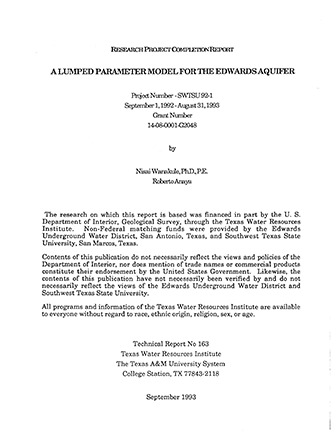
A Lumped Parameter Model for the Edwards Aquifer

| Author | Wanakule N and Anaya R |
| Year | 1993 |
| Description | Computer modeling of the San Antonio region of the Edwards Aquifer using a nonlinear optimization algorithm with a Kalman filter |
| Report Number | TWRI Technical Report No 163 |
| Publisher | The Texas A&M University System Texas Water Resources Institute |
| Location | Edwards Aquifer - San Antonio Area |
| Cover | View Download |
| File | View Download |
| Summary |
|
A lumped parameter model has been developed to simulate monthly water levels and spring flows in the Edwards Aquifer. It is less complex and easier to use than the existing complex finite difference models for the Edwards Aquifer. The lumped parameter model was formulated using a discrete, nonlinear, nonstationary system based on control theory. The physical system of the Edwards Aquifer is conceptualized as a series of connected rock filled tanks representing major drainage basins of the aquifer. The model incorporates recharge functions derived from flow loss analysis of the drainage basins above and within the recharge area. The recharge functions estimate monthly recharge and allow for the interaction between groundwater and surface water for each drainage basin. Pumpage distribution coefficients were derived for each drainage basin to estimate monthly pumpage values. Monthly stream gage and aquifer water level data were used for calibrating and verifying the model. Model parameters were obtained with the aid of a nonlinear optimization algorithm. A Kalman filter was used to improve simulation results. The lumped parameter model proved to be very efficient in simulating 189 monthly iterations of water levels for nine drainage basins in less than four minutes on a 68040 based microcomputer. The model should prove useful for assessing pumpage regulations necessary to maintain springflows under historic drought conditions and for exploring management alternatives for the Edwards Aquifer. Future plans and research consist of re-coding the model as a spreadsheet function and perhaps using a Laplace transform as a solution method. Other research should include generalizing the model for use in other karst aquifers, integrating the model with a rainfall-runoff model, and developing a better method for estimating recharge. |
Search for Documents
Advance Search
Explore EAA's Scientific Reports
- All Reports
- Geomorphology and Caves
- Weather Modification
- Geology
- Water Use and Conservation
- Geochemistry
- Water Resources Planning and Management
- Floods and Drought
- Water Quality
- Climatology
- Surface Water / Groundwater Relationship
- Biology
- Springs, Groundwater Discharge
- Archaeology
- RZ Protection
- Aquifer Levels
- Remote Sensing
- Precipitation
- Overview Studies
- Modeling
- Hydrology and Hydrogeology
- History
- Groundwater Recharge, Recharge Zone
- Groundwater Movement
