| Title: |
Geologic Framework and Hydrostratigraphy of the Edwards and Trinity Aquifers Within Northern Medina County, Texas |
Description:
 |
Geologic framework and hydrostratigraphy of the Edwards and Trinity aquifers within northern Medina County, Texas |
Details
View
Download
|
| Title: |
Geologic framework and hydrostratigraphy of the Edwards and Trinity aquifers within Hays County, Texas |
Description:
 |
Geologic framework and hydrostratigraphy of the Edwards and Trinity aquifers within Hays County, Texas |
Details
View
Download
|
| Title: |
Geologic framework and hydrostratigraphy of the Edwards and Trinity aquifers within northern Bexar and Comal Counties, Texas |
Description:
 |
Geologic framework and hydrostratigraphy of the outcrops and hydrostratigraphy of the Edwards and Trinity aquifers within northern Bexar and Comal Counties, Tex. |
Details
View
Download
|
| Title: |
Edwards Aquifer Authority Well Plugging and Abandonment Study |
Description:
 |
Geophysical tests on an abandoned well to determine best method of achieving sealing of the annular space
|
Details
View
Download
|
| Title: |
Blasting Effects on Engineered Structures |
Description:
 |
Report of field study on effects of blasting charges on structure and function of nearby pipes, wells, and tanks. See accompanying appendices.
|
Details
View
Download
|
| Title: |
Blasting Effects on Engineered Structures Appendices A-G |
Description:
 |
Appendices A-G to main companion report.
|
Details
View
Download
|
| Title: |
Blasting Effects on Engineered Structures Appendices H, I ,J |
Description:
 |
Appendices H, I, J to main companion report
|
Details
View
Download
|
| Title: |
Geology and Water Quality at Selected Locations in the San Antonio Area Texas, Progress Report, 1969 |
Description:
 |
Surface geology and water quality monitoring in the San Antonio region in relation to development and most likely sources of pollution. Note: Page-size and large-format plate are at the end of the report.
|
Details
View
Download
|
| Title: |
Evapotranspiration – A Method of Disposing of Septic Tank Effluent |
Description:
 |
Feasibility study for evapotranspiration as an effective means of disposing septic tank effluent
|
Details
View
Download
|
| Title: |
Maps Showing Outcrops of the Edwards and Associated Limestones in the Principal Recharge Area of the Edwards Aquifer in Bexar County, Texas [6 maps] |
Description:
 |
Six topographic maps of the Edwards Aquifer Recharge Zone, scale 1:24,000. Camp Bullis Quadrangle, Bulverde Quadrangle, Helotes Quadrangle, Longhorn Quadrangle, Castle Hills Quadrangle, San Geronimo Quadrangle. Note: Both letter-size and full-size maps are included.
|
Details
View
Download
|
| Title: |
Structural mapping of the Edwards Aquifer in eastern and central Uvalde County, Texas, using seismic, well and outcrop data |
Description:
 |
Structural mapping of the Edwards Aquifer in eastern and central Uvalde County, Texas, using seismic, well and outcrop data. Work performed under contract with the EAA by Thomas E. Ewing, Frontera Exploration Consultants; May 24, 2005
|
Details
View
Download
|
| Title: |
Survey Report on Edwards Underground Reservoir Guadalupe, San Antonio and Nueces Rivers and Tributaries, Texas. Volume 3 Appendix III Geology Appendix V Economic Base Study Appendix VI Recreation and Wildlife |
Description:
 |
Note: This report is included for its historical value and may have been replaced by more recent studies. Volume 3 (Appendix III Geology Appendix V Economic Base Study Appendix VI Recreation and Wildlife) of survey by the US Army Corps of Engineers and the Edwards Underground Water District, emphasizing possible locations for reservoirs and containment systems.
|
Details
View
Download
|
| Title: |
Evaluation of the Edwards Aquifer in Kinney and Uvalde Counties, Texas |
Description:
 |
Development of an updated conceptual model in the Edwards Aquifer for the Kinney County and Uvalde Pools and the relationship of the latter to the San Antonio Pool
|
Details
View
Download
|
| Title: |
Measuring Floodplain Hydraulics of the Frio River Where it Overlies the Edwards Aquifer |
Description:
 |
Structural and hydrogeological survey of the Frio River to determine if water table underflow contributes to the water budget of the Edwards Aquifer Recharge Zone
|
Details
View
Download
|
| Title: |
Structural Controls on the Edwards Aquifer/Trinity Aquifer Interface in the Camp Bullis Quadrangle, Texas |
Description:
 |
Structural analyses for geologic framework model of the area around the intersection of the Edwards and Trinity Aquifers
|
Details
View
Download
|
| Title: |
Conduits and Turbulent Flow in the Edwards Aquifer |
Description:
 |
Description of the Edwards Aquifer Balcones Fault Zone as a typical karst aquifer and recommendations for locations of conduits in the MODFLOW model
|
Details
View
Download
|
| Title: |
Refining the Conceptual Model for Flow in the Edwards Aquifer—Characterizing the Role of Fractures and Conduits in the Balcones Fault Zone Segment |
Description:
 |
Hydrogeologic study using existing data on role of fractures and conduits in groundwater flow in the recharge and artesian zones of the Edwards Aquifer Balcones Fault Zone
|
Details
View
Download
|
| Title: |
Geophysical Survey to Determine the Depth and Lateral Extent of the Leona Aquifer and Evaluation of Discharge Through the Leona River Floodplain, South of Uvalde, Texas |
Description:
 |
Determination of groundwater flow regime for the Leona Formation aquifer in the Leona River floodplain
|
Details
View
Download
|
| Title: |
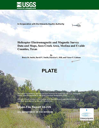
Helicopter Electromagnetic and Magnetic Survey Data and Maps, Seco Creek Area, Medina and Uvalde Counties, Texas |
Description:
 |
Helicopter survey of electromagnetic and magnetic properties with hydrologic application around the Valdina Farms sinkhole in Medina County, Texas
|
Details
View
Download
|
| Title: |
Geologic Framework and Hydrogeologic Characteristics of the Edwards Aquifer Outcrop, Comal County, Texas |
Description:
 |
Geologic and hydrogeologic description of the karstic limestone outcrops of the Edwards Aquifer Recharge Zone in Comal County, TX
|
Details
View
Download
|
| Title: |
Geologic Framework and Hydrogeologic Characteristics of the Edwards Aquifer Outcrop, Hays County, Texas |
Description:
 |
Geologic and hydrogeologic description of the karstic limestone outcrops of the Edwards Aquifer Recharge Zone in Comal County, TX
|
Details
View
Download
|
| Title: |
Regional Distribution of Permeability in the Edwards Aquifer |
Description:
 |
Quantitative distribution of various factors controlling permeability and analysis of geographic and geologic relationships in the Edwards aquifer. Note: Large-format versions of the plates for this report are available in a companion document.
|
Details
View
Download
|
| Title: |
The Edwards Aquifer Extremely Productive, but… |
Description:
 |
Semi-technical description of the Edwards aquifer and considerations for its use and preservation for the general public and policy-makers
|
Details
View
Download
|
| Title: |
Edwards/Glen Rose Hydrologic Communication, San Antonio Region, Texas |
Description:
 |
Hydrogeological and modeling study of transmissivity between the Glen Rose and Edwards aquifers in the Cibolo Creek Basin and Guadalupe River
|
Details
View
Download
|
| Title: |
Report on the Edwards Aquifer San Antonio Region, Texas |
Description:
 |
Review of geology, hydrogeology, recharge and pumpage of the Edwards Aquifer, Balcones Fault Zone, San Antonio Segment Note: This report is included for its historical value and may have been replaced by more recent studies.
|
Details
View
Download
|
| Title: |
Valdina Farms Sinkhole: Hydrogeologic & Biologic Evaluation |
Description:
 |
Documentation of hydrogeology, structure and fauna in Valdina Farms Sinkhole, Medina County, in 1987
|
Details
View
Download
|
| Title: |
Drilling, Construction and Testing of Monitor Wells for the Edwards Aquifer Bad Water Line Experiment |
Description:
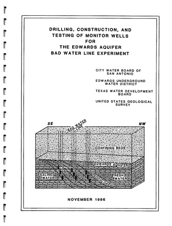 |
Study of the fresh water-saline interface using new monitoring wells in the San Antonio Artesia Water Field. Note: This report is included for its historical value and may no longer reflect current conditions.
|
Details
View
Download
|
| Title: |
Carbonate Geology and Hydrology of the Edwards Aquifer in the San Antonio Area, Texas |
Description:
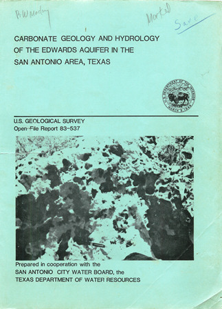 |
Hydrostratigraphic subdivisions, types of rock, permeability and groundwater movement in the Edwards Aquifer in the San Antonio region
|
Details
View
Download
|
| Title: |
Geologic Framework and Hydrogeologic Characteristics of the Edwards Aquifer Outcrop, Medina County, Texas |
Description:
 |
Geologic and hydrogeologic description of the karstic limestone outcrops of the Edwards Aquifer Recharge Zone in Medina County, TX
|
Details
View
Download
|
| Title: |
Geologic Framework and Hydrogeologic Characteristics of the Edwards Aquifer, Uvalde County, Texas |
Description:
 |
Geology and hydrogeology of the Edwards Aquifer in Uvalde County, TX
|
Details
View
Download
|
| Title: |
Measuring Floodplain Hydraulics of Seco Creek and Medina River Where They Overlie the Edwards Aquifer – Final Report |
Description:
 |
Study of the hydraulic relationships between Seco Creek, the Medina River, and the Edwards Aquifer
|
Details
View
Download
|
| Title: |
Helicopter Electromagnetic and Magnetic Survey Data and Maps, Northern Bexar County, Texas |
Description:
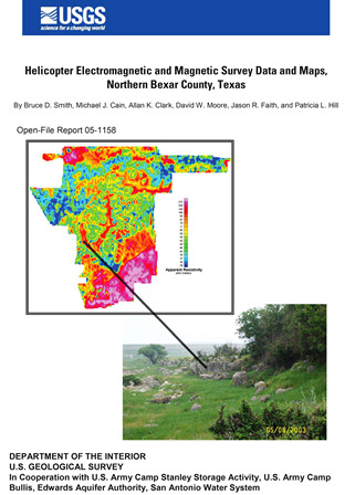 |
Helicopter survey of electromagnetic and magnetic properties with hydrologic application around Northern Bexar County, TX
|
Details
View
Download
|
| Title: |
Structural Controls on the Edwards Aquifer/Trinity Aquifer Interface in the Helotes Quadrangle, Texas |
Description:
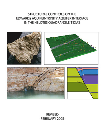 |
Structural analyses for geologic framework model of the Helotes Quadrangle around the intersection of the Edwards and Trinity Aquifers
|
Details
View
Download
|
| Title: |
Helicopter Electromagnetic and Magnetic Survey Data and Maps, Seco Creek Area, Medina and Uvalde Counties, Texas – Plate |
Description:
 |
Full-size plate for "Helicopter Electromagnetic and Magnetic Survey Data and Maps, Seco Creek Area, Medina and Uvalde Counties, Texas". Note: Original size plate - need large-format printer.
|
Details
View
Download
|
| Title: |
Government Canyon Geologic and Hydrologic Assessment |
Description:
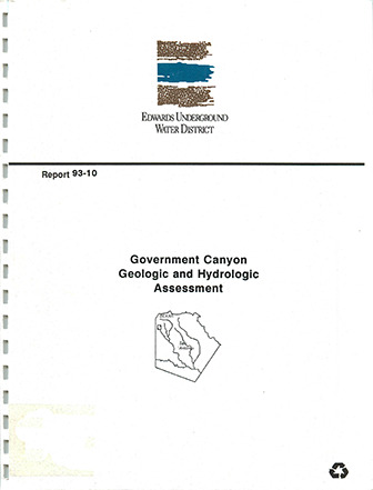 |
Government Canyon geologic and hydrologic assessment
|
Details
View
Download
|
| Title: |
Regional Distribution of Permeability in the Edwards Aquifer – Plates |
Description:
 |
Large-format versions of the plates for Regional Distribution of Permeability in the Edwards Aquifer. See companion document.
|
Details
View
Download
|
| Title: |
The Edwards Underground Reservoir and the Edwards Underground Water District: Uvalde, Medina, Bexar, Comal and Hays Counties |
Description:
 |
General description of the Edwards Aquifer and the Edwards Underground Water District. Note: No cover page. This document is included for its historical value and has been replaced by more recent ones.
|
Details
View
Download
|
| Title: |
DEVELOPMENT OF A FINITE-ELEMENT METHOD GROUNDWATER FLOW MODEL FOR THE EDWARDS AQUIFER |
Description:
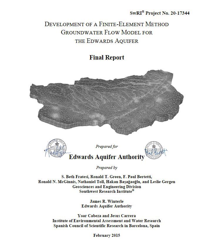 |
Attributes of the alternative model that set it conceptually independent from the 2004 MODFLOW model are: Inclusion of the Contributing Zone Recharge is calculated directly from precipitation and is not prescribed at the upgradient side of the Recharge Zone Western boundary is refined to better define the Kinney Pool The Contributing and Recharge Zones are characterized by three layers Distinct conduits are included in the Confined Zone The alternative model employs a finite-element formulation instead of the finite-difference formulation used in the 2004 MODFLOW model
|
Details
View
Download
|
