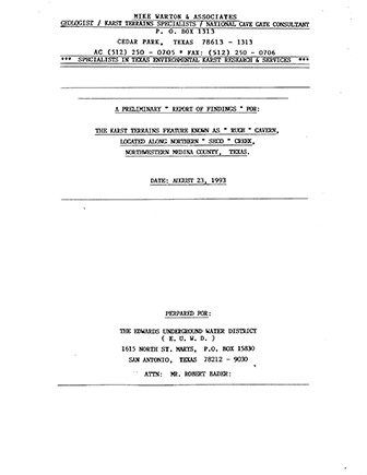
A preliminary report of findings for the karst terrains feature known as Rugh Cavern, located along northern Seco Creek, northwestern Medina County, Texas

| Summary |
|
The Karst Terrains Recharge Feature presently known as “RUGH” SINKHOLE I CAVE is Located approx. 1.5 Miles upstream from the “Valdina Farms” Sinkhole / Cave Site along “SECO” Creek in Medina County, Texas. This Feature occurs along the SOUTHWEST Bank of “SECO” Creek, at which point the Creeks [sic] active wash channel measures 53’ Feet wide. The Cave’s entrance measures approx. 2.5’ Feet wide x 3/5’ Feet in Length, and is somewhat “Diamond” Shaped in configuration. The edges of the entrance consist of a layer of Limestone which is approx. 8” to 10” inches thick, and well undercut below apparently in all directions. The Entrance drop was reported to be an approx. 10’ to 12’ Foot free drop. At the time I observed this Feature, it was actively insurging approx. 8 to 10 C.F.S., captivating the flow of “SECO” Creek. The Stream channel flowing into this Feature measured approx. from 6” to 12” inches in depth X 6.0’ Feet wide at the Cave’s Entrance. It was not possible to enter the Cave under these conditions. Measurements were taken for a protective Recharge Gate. The Cave’s Entrance, as well as a large collapse sink further up on the bank are developed along a strong Fracture Lineament Trend of N. 60 E. The distance from the Insurgence Entrance to the collapse sink further up the bank is 59’ Feet. Several observations of this new Recharge Feature were made. This Feature, according to local sources has recently opened up within the last TWO (2) years to a physically accessible size. The Cave’s entrance appears to be positioned at approx. 1230’ MSL., and developed in the Lower GLEN ROSE LIMESTONE FORMATION (Kgr). It would seem apparent that this subgrade water course is highly likely to connect to the same conduit system represented at the bottom of “Valdina Farms” Sinkhole / Cave. A dye trace test might be very successful in proving this. This Feature will insurge a great amount of water into the subgrade before the creek flow reaches “Valdina Farms” Sinkhole / Cave. If any Insurgence figures have been previously calculated for “Valdina Farms” Sinkhole / Cave, the recharge loss at this new Site would probably significantly effect [sic] calculations at “Valdina Farms” Sinkhole / Cave. It was my impression, that “RUGH” Sinkhole / Cave might yield an extensive network of stream conduit passage under exploration efforts. Some concerns have been expressed for a protective recharge Cave Gate. If & when this would be performed, conditions would have to be dry at the Cave’s entrance, which is also an ideal time for exploration efforts and interior documentations. Due to the nature of “RUGH” Sinkhole / Cave, this Feature represents a very dangerous situation during times of active Insurgence. Gating this Feature most definitely is viewed as a warranted and wise decision. |
Search for Documents
Advance Search
Explore EAA's Scientific Reports
- All Reports
- Hydrology and Hydrogeology
- History
- Groundwater Recharge, Recharge Zone
- Groundwater Movement
- Geomorphology and Caves
- Weather Modification
- Geology
- Water Use and Conservation
- Geochemistry
- Water Resources Planning and Management
- Floods and Drought
- Water Quality
- Climatology
- Surface Water / Groundwater Relationship
- Biology
- Springs, Groundwater Discharge
- Archaeology
- RZ Protection
- Aquifer Levels
- Remote Sensing
- Precipitation
- Overview Studies
- Modeling
