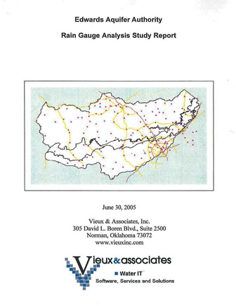
Edwards Aquifer Authority Rain Gauge Analysis Study Report

| Summary |
|
The purpose of this report is to identify improvements to the rain gauge network that will increase the usefulness and accuracy of rainfall monitoring over the Edwards Aquifer Area (EAA). The proposed rain gauge networks are intended to provide more evenly distributed coverage over the aquifer area and for use in radar calibration. The existing gauge network of 61 EAA gauges in combination with the 41 gauges in the Guadeloupe [sic] Blanco River Authority (GBRA) network provides an average density of one gauge per 87 mi2 and a mean inter-gauge spacing that varies from 7 to 15 mi2 depending on the zone. Some zones, such as the Artesian Zone, have fewer gauges than other zones. Proposed new gauge locations are confined to easily accessible roadway locations to reduce access and operations costs. The proposed rain gauge network achieves a density of one gauge per 66 mi2 with a uniform inter-gauge spacing of 8 mi2. An Alternative Configuration that relies on a private network of gauges achieves an improved density of one gauge per 55 mi2 with higher densities in and around San Antonio. Using the private network requires fewer new gauges to be installed. With the proposed additional gauges, more uniform coverage among zones, increased gauge density, and reduced inter-gauge spacing is achieved. With the addition of gauges, improvement in radar rainfall accuracy will be greatest in areas where few gauges existed. Analysis of the historical rain gauge performance revealed which gauges could be improved through maintenance actions. Correcting the twenty-one gauges rated as Suspect or Poor would help improve one-third of the existing gauges in the rain gauge network (RGN). The recommended maintenance actions and adjustments to the gauge network configuration will improve the quality and usefulness of the rain gauge data and benefit the accuracy of radar rainfall. |
Search for Documents
Advance Search
Explore EAA's Scientific Reports
- All Reports
- Overview Studies
- Modeling
- Hydrology and Hydrogeology
- History
- Groundwater Recharge, Recharge Zone
- Groundwater Movement
- Geomorphology and Caves
- Weather Modification
- Geology
- Water Use and Conservation
- Geochemistry
- Water Resources Planning and Management
- Floods and Drought
- Water Quality
- Climatology
- Surface Water / Groundwater Relationship
- Biology
- Springs, Groundwater Discharge
- Archaeology
- RZ Protection
- Aquifer Levels
- Remote Sensing
- Precipitation
