
Edwards Aquifer Authority Synoptic Water Level Program 1999-2004 Report
| Summary |
|
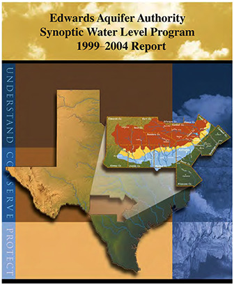
The Edwards Aquifer Optimization Program was created to better manage the Edwards Aquifer by furthering the understanding of the aquifer and the natural systems it supports. The goal of the Synoptic Water Level Study is to contrast the water level changes during low to high demand periods. By measuring wells in each county, the Authority is able to obtain an aquifer-wide ‘snapshot’ to determine aquifer groundwater level and flow conditions. The data for the period 1999-2004 are summarized in the report. The report includes a summary of the findings through 2004, as well as water level contour maps, and tables of all water level measurements collected. This research project is being conducted in cooperation with the San Antonio Water System, Texas Water Development Board, and U.S. Geological Survey. [From Recommendations and Conclusions] This study has also effectively identified areas in need of more detailed investigation, such as the Knippa Gap, Cibolo Creek area, Hays County groundwater divide, and the interface between the Trinity and Edwards aquifers, as well as the recharge and artesian zone boundary within the Edwards Aquifer…. Collection of regional and focused synoptic data will help to improve the general understanding of the system and the flowpaths that exist within it. |
Search for Documents
Advance Search
Explore EAA's Scientific Reports
- All Reports
- Modeling
- Hydrology and Hydrogeology
- History
- Groundwater Recharge, Recharge Zone
- Groundwater Movement
- Geomorphology and Caves
- Weather Modification
- Geology
- Water Use and Conservation
- Geochemistry
- Water Resources Planning and Management
- Floods and Drought
- Water Quality
- Climatology
- Surface Water / Groundwater Relationship
- Biology
- Springs, Groundwater Discharge
- Archaeology
- RZ Protection
- Aquifer Levels
- Remote Sensing
- Precipitation
- Overview Studies