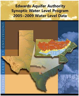
Edwards Aquifer Authority Synoptic Water Level Program 2005-2009 Water Level Data

| Summary |
|
[Excerpted from Summary and Conclusions] This study has also effectively identified areas in need of more detailed investigation, such as the Knippa Gap, the Cibolo Creek area, and the interface between the Trinity and Edwards aquifers, as well as the recharge- and artesian-zone boundary within the Edwards Aquifer. |
Search for Documents
Advance Search
Explore EAA's Scientific Reports
- All Reports
- Surface Water / Groundwater Relationship
- Biology
- Springs, Groundwater Discharge
- Archaeology
- RZ Protection
- Aquifer Levels
- Remote Sensing
- Precipitation
- Overview Studies
- Modeling
- Hydrology and Hydrogeology
- History
- Groundwater Recharge, Recharge Zone
- Groundwater Movement
- Geomorphology and Caves
- Weather Modification
- Geology
- Water Use and Conservation
- Geochemistry
- Water Resources Planning and Management
- Floods and Drought
- Water Quality
- Climatology
