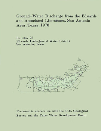
Ground-Water Discharge from the Edwards and Associated Limestones, San Antonio Area, Texas, 1970

| Author | Puente C (US Geological Survey) |
| Description | Annual report for 1970 on discharge from the Edwards Aquifer issued by the Edwards Underground Water District |
| Report Number | Bulletin 26 |
| Publisher | Edwards Underground Water District |
| Location | Edwards Aquifer Balcones Fault Zone San Antonio Segment |
| Cover | View Download |
| File | View Download |
| Summary |
|
Records of ground-water discharge from the Edwards and associated limestones in the San Antonio area during 1970 are summarized in this report. The compilation of these basic records is part of a continuing hydrologic investigation by the U. S. Geological Survey in cooperation with the Edwards Underground Water District and the Texas Water Development Board. Previous reports are given in the list of references. The spring discharge was compiled from records of gages operated by the U. S. Geological Survey at the points of discharge. Pumpage for agriculture was estimated from power consumption and irrigated acreage. Records of the annual canvass of pumpage in the San Antonio area by the Texas Water Development Board were used to compile municipal, military, and industrial usage. The estimated discharge from the Edwards and associated limestones during 1970 is given in table 1. The discharge by springs was from San Marcos Springs in Hays County, Carnal Springs in Comal County, San Antonio and San Pedro Springs in Bexar County, and the Leona River Springs in Uvalde County. The recorded discharge for Leona River Springs includes underflow through the gravel below the Springs. Major discharge by wells was from Bexar, Uvalde, and Medina Counties, while the major springflow was from Carnal and Hays Counties. Wells in Bexar County supplied water for municipal and military use. other wells in Bexar County and most of the large wells in Uvalde and Medina Counties supplied the irrigation needs for an estimated 50,000 acres. The remaining discharge, principally from wells in Bexar County, was for industrial, domestic, stock, and miscellaneous purposes. The 1970 estimated total well and spring discharge from the Edwards and associated limestones was 727,100 acre-feet and is the record high for the period 1934-70. The increase was due primarily to above average springflow and pumpage for agricultural purposes. About 45 percent of the total discharge came from wells, and approximately two-thirds of this discharge was from wells in Bexar County. Well discharge in 1970 was 7 percent greater than 1969, while the total discharge from wells and springs was 10 percent greater. Compared to the 1934-69 average, the total discharge was 36 percent greater. |
Search for Documents
Advance Search
Explore EAA's Scientific Reports
- All Reports
- Springs, Groundwater Discharge
- Archaeology
- RZ Protection
- Aquifer Levels
- Remote Sensing
- Precipitation
- Overview Studies
- Modeling
- Hydrology and Hydrogeology
- History
- Groundwater Recharge, Recharge Zone
- Groundwater Movement
- Geomorphology and Caves
- Weather Modification
- Geology
- Water Use and Conservation
- Geochemistry
- Water Resources Planning and Management
- Floods and Drought
- Water Quality
- Climatology
- Surface Water / Groundwater Relationship
- Biology
