
Pilot Recharge Models of the Nueces and Blanco River Basins
| Summary |
|
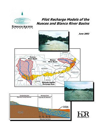
Note: This study has been updated in the document “HSPF Recharge Models for the San Antonio Segment of the Balcones Fault Zone of the Edwards Aquifer.” The purpose of this study was to evaluate a new method for computing recharge to the Edwards Aquifer. The computer program Hydrologic Simulation Program – Fortran (HSPF) was evaluated using input datasets for the Blanco and Nueces River basins. The HSPF methodology was determined to be a significant improvement over historically utilized methods and will be applied to all basins that recharge the aquifer. The pilot study was completed in June 2002 by HDR Engineering, Inc., Austin, Texas. Pilot Edwards Aquifer recharge calculation models of the Nueces and Blanco River (Recharge) Basins have been completed in the Hydrologic Simulation Program – Fortran (HSPF). In a manner consistent with Edwards Aquifer Authority (EAA) objectives, the pilot recharge models retain the strengths and overcome the weaknesses of traditional recharge calculation methods while providing versatile tools sufficiently accurate for both regulatory and research purposes. Specific advantages of these models over traditional methods include the following: (1) Use of a water balance approach integrating many relevant hydrologic parameters including measured streamflow, precipitation, evaporation, and diversions as well as soil type, antecedent moisture conditions, land use, and interception/infiltration/evapo-transpiration characteristics. (2) Computation of recharge on a daily, rather than monthly, timestep through direct simulation of watershed response to daily precipitation and streamflow inputs. (3) Provision for geographical distribution of recharge into specified land segments and river reaches on the outcrop of the Edwards Aquifer. ( 4) Ability to quantify effects of changes in watershed characteristics (dam construction, brush management, land development) and/or climatological influences (weather modification) on aquifer recharge. (5) Limited capability to approximate inter-formational transfer of groundwater from the Edwards Plateau and Trinity Aquifers that contributes to Edwards Aquifer recharge. Application of the pilot recharge model of the Nueces River (Recharge) Basin for the 1950 through 1998 historical simulation period results in the annual recharge estimates shown in Figure ES-11 and a long-term average recharge of 117,280 acft/yr. Similarly, application of the pilot recharge model of the Blanco River (Recharge) Basin for the 1956 through 1998 historical simulation period results in the annual recharge estimates shown in Figure ES-12 and a long-term average recharge of 74,491 acft/yr. For comparable historical periods ending in 1996, Figure ES-13 compares long-term average recharge rates from the pilot recharge models to those based on traditional HDR and USGS methods. It is apparent in Figure ES-13 that Edwards Aquifer recharge derived by application of the pilot recharge models more closely approximates traditional USGS estimates in the Nueces Recharge Basin and traditional HDR estimates in the Blanco Recharge Basin. |
Search for Documents
Advance Search
Explore EAA's Scientific Reports
- All Reports
- Remote Sensing
- Precipitation
- Overview Studies
- Modeling
- Hydrology and Hydrogeology
- History
- Groundwater Recharge, Recharge Zone
- Groundwater Movement
- Geomorphology and Caves
- Weather Modification
- Geology
- Water Use and Conservation
- Geochemistry
- Water Resources Planning and Management
- Floods and Drought
- Water Quality
- Climatology
- Surface Water / Groundwater Relationship
- Biology
- Springs, Groundwater Discharge
- Archaeology
- RZ Protection
- Aquifer Levels