|
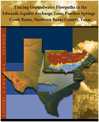
The purpose of this study was to characterize groundwater-flow directions and velocities and to evaluate hydrostratigraphy in the Edwards Aquifer recharge zone in northern Bexar County in south-central Texas. It presents the findings of investigations by the Edwards Aquifer Authority regarding groundwater flowpaths, velocities, and hydrostratigraphy in the Panther Springs Creek groundwater basin, which is located in the San Antonio segment of the Balcones Fault Zone Edwards Aquifer. In a series of four phases, the Authority injected nontoxic organic dyes into six caves and sampled an array of 32 wells to track the dye movements. The tracer tests revealed discrete groundwater flowpaths near Panther Springs Creek with apparent (point-to-point) groundwater velocities ranging from 13 to 5,300 meters per day from the recharge zone to the transition/artesian zone of the Edwards Aquifer. The results indicated that groundwater flows freely across faults with displacements up to 104 meters through a single hydrostratigraphic unit comprised of the upper member of the Glen Rose Formation in the Upper Trinity Aquifer and the overlying Edwards Aquifer. Dye poured on the ground surface in an area with no observable karst features such as sinkholes, dissolutioned fractures, or caves demonstrated that the aquifer is vulnerable to contamination even in the absence of recognizable karst landforms.
|