
 Aquifer Conditions
Maps & GIS
Edwards Aquifer Maps and GIS Library
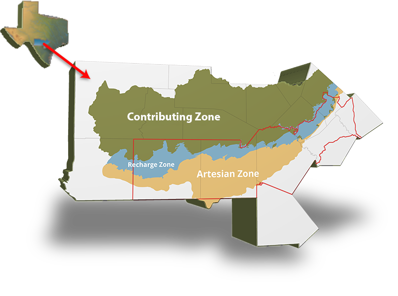
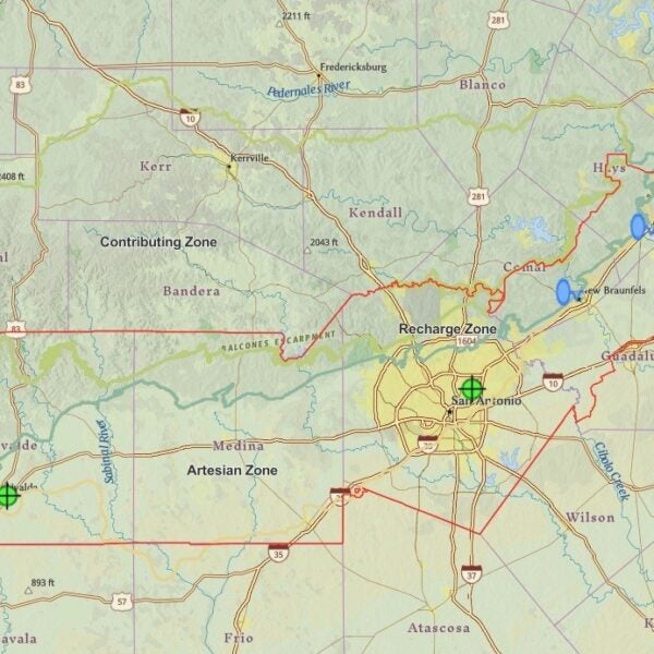
Located in the heart of south central Texas, the Edwards Aquifer is the natural water resource that supports approximately 2 million of us. It is part of a much larger system that spans approximately 8,800 square miles.
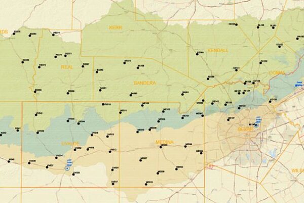
The Edwards Aquifer Authority manages the San Antonio segment of the Balcones Fault Zone. This area covers all or parts of eight counties including Uvalde, Medina, Atascosa, Bexar, Comal, Guadalupe, Hays, and Caldwell Counties.
Featured Maps
-
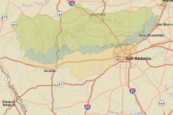
Edwards Aquifer Recharge Zone
Where is it?

-

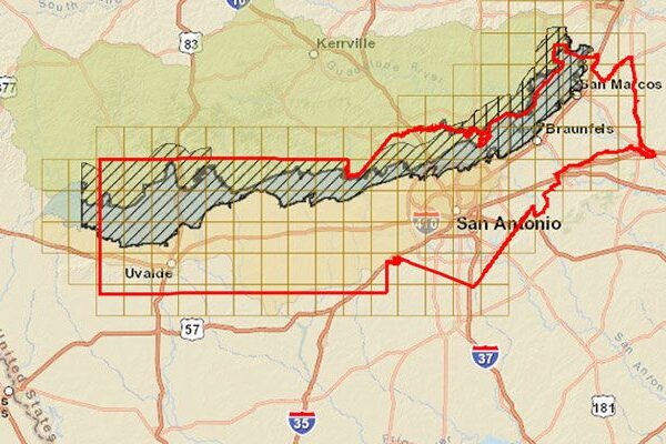
EAA Rule 713 Subchapters E, F, G, & H
Regulated Zones
-
Groundwater Conservation Districts
EAA and Surrounding
-
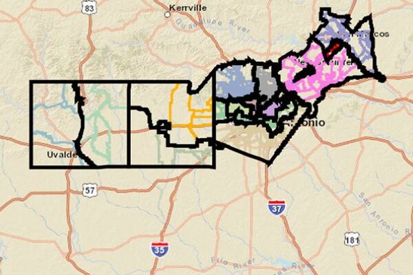
EAA Districts
What EAA District Are You in?
-
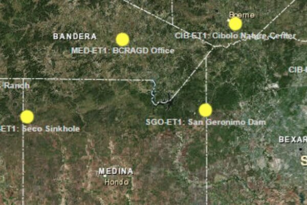
Gauging Site System
Continuous Data Collection
-
EAA Weather Stations
Continuous Data Collection
-
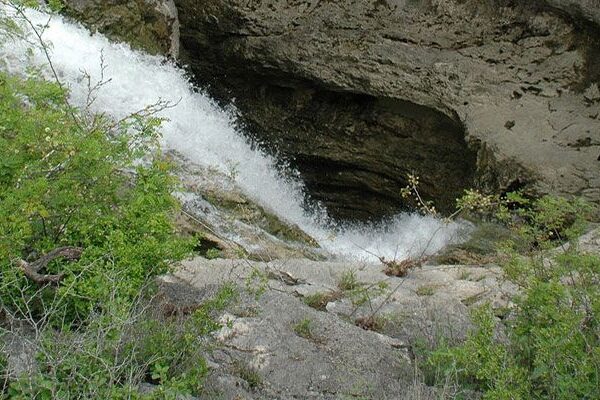
Karst Connections
A Virtual Field Experience
-

Habitat Conservation Plan
HCP
-

Comal Springs
Monitoring Map
-
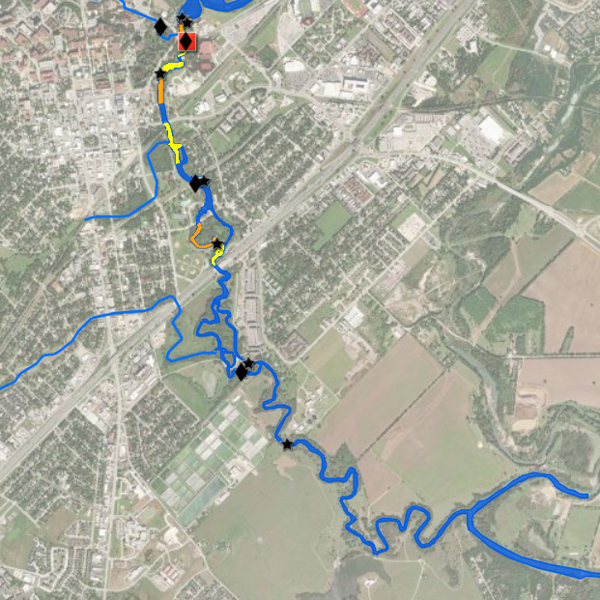
San Marcos Springs
Monitoring Map
-
Index Wells and Springs


