Regulatory Zone Maps - Edwards Aquifer Authority
Regulatory Zone Maps

Regulatory Zone Maps

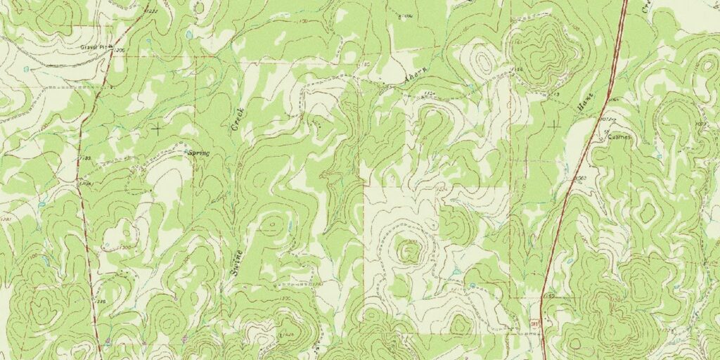
These maps are presented on United States Geological Survey 7.5 Minute Quadrangles and reflect recharge and contributing zone areas regulated by Edwards Aquifer Authority Rules, ch. 713, (Water Quality), subchs. E (Spill Reporting), F (Regulated Materials Registration, Storage, and Planning), G (Aboveground and Underground Storage Tanks), and H (Prohibited Activities, §713.703).

In addition to the maps provided below, the EAA has also developed an interactive map for the EAA Subchapter 713 Regulated Zones.

View Interactive Map


Anhalt

Anhalt

  Download

Bat Cave

Bat Cave

  Download

Bergheim

Bergheim

  Download

Boerne

Boerne

  Download

Bull Waterhole

Bull Waterhole

  Download

Bulverde

Bulverde

  Download

Camp Bullis

Camp Bullis

  Download

Castle Hills

Castle Hills

  Download

Chalk Bluff

Chalk Bluff

  Download

Comanche Waterhole

Comanche Waterhole

  Download

Concan

Concan

  Download

Crown Mountain

Crown Mountain

  Download

Deep Creek

Deep Creek

  Download

Devil's Backbone

Devil's Backbone

  Download

Driftwood

Driftwood

  Download

Dripping Springs

Dripping Springs

  Download

Fischer

Fischer

  Download

Flatrock Crossing

Flatrock Crossing

  Download

Helotes

Helotes

  Download

Hunter

Hunter

  Download

Jack Mountain

Jack Mountain

  Download

Knippa

Knippa

  Download

Laguna

Laguna

  Download

Lake Creek

Lake Creek

  Download

Longhorn

Longhorn

  Download

Magers Crossing

Magers Crossing

  Download

Medina Lake

Medina Lake

  Download

Montell

Montell

  Download

Mountain City

Mountain City

  Download

Mustang Valley

Mustang Valley

  Download

Mustang Waterhole

Mustang Waterhole

  Download

New Braunfels East

New Braunfels East

  Download

New Braunfels West

New Braunfels West

  Download

Reagan Wells

Reagan Wells

  Download

Rio Frio

Rio Frio

  Download

Riomedina

Riomedina

  Download

Rough Hollow

Rough Hollow

  Download

Sabinal NE

Sabinal NE

  Download

Salmon Peak

Salmon Peak

  Download

San Geronimo

San Geronimo

  Download

San Marcos North

San Marcos North

  Download

San Marcos South

San Marcos South

  Download

Sattler

Sattler

  Download

Schertz

Schertz

  Download

Sevenmile Hill

Sevenmile Hill

  Download

Signal Hill

Signal Hill

  Download

Smithson Valley

Smithson Valley

  Download

Sycamore Mountain

Sycamore Mountain

  Download

Texas Mountain

Texas Mountain

  Download

Timber Creek

Timber Creek

  Download

Turkey Mountain

Turkey Mountain

  Download

Twin Hollow

Twin Hollow

  Download

Utopia

Utopia

  Download

Van Raub

Van Raub

  Download

Vanderpool

Vanderpool

  Download

Wimberley

Wimberley

  Download

In observance of Battle of Flowers, the office will be closed on Friday, April 26th.