
 Aquifer Conditions
Science & Data Document Library
Science and Data Resources
Records of Precipitation, Aquifer Head, and Ground-Water Discharge to the Edwards and Associated Limestones, San Antonio Area, Texas, 1963
Description: Annual report for 1963 on precipitation, aquifer levels, and recharge to the Edwards Aquifer issued by the Edwards Underground Water District
Report Number: Bulletin 6
Location: Edwards Aquifer Balcones Fault Zone San Antonio Segment
Summary:The Edwards and associated limestones, the principal aquifer in the San Antonio area, has been the subject of numerous geologic and hydrologic reports. Records of precipitation, water levels, and estimates of recharge to the aquifer during 1963 are summarized in this report, one of three basic-data reports published yearly by the Edwards Underground Water District. The gathering of these records and data is part of the continuing hydrologic investigation by the U.S. Geological Survey in cooperation with the Edwards Underground Water District, the Texas Water Commission, and the city of San Antonio.
Table 1 shows the annual precipitation at selected stations throughout the San Antonio area for 1963 and the annual average for each of the stations. Rainfall generally was below average during 1963, the second consecutive year of rainfall deficiency in the San Antonio area since the major drought which ended in 1957.
The annual recorded high and low water levels during 1963 in the five key wells in the area are shown in table 2. The water levels generally fluctuated above the midpoint between the record high and low levels, shown also for each key well in table 2. Thus, the aquifer head during 1963 remained well above the record low even after two consecutive years of below-average rainfall.
Recharge to the Edwards and associated limestones is chiefly from streams that lose most of their base flow and a part of their flood flow as they cross the Balcones fault zone on the outcrop of the aquifer. The recharge is estimated from records of continuous discharge at gaging stations on the streams and from seepage studies made prior to 1963, which determined streamflow losses across the Balcones fault zone under different rates of base flow. The monthly mean discharges at the gaging stations during October-December 1963 are shown in table 3. Streamflow records for January-September 1963 have been published by the U.S. Geological Survey (U.S. Department of the Interior, Geological Survey-Water Resources Division, 1963).
Table 4 shows the recharge in each basin of the San Antonio area for 1963 and the average annual recharge for the period 1934-62. The latter was computed from previous recharge estimates (Garza, 1962, p. 12; Garza, 1963, p. 7). Basically, the methods employed by Petitt and George (1956) and Garza (1962) were used for estimating the 1963 recharge, which was considerably below average and the lowest annual total since 1956.
Comprehensive and Critical Period Monitoring Program to Evaluate the Effects of Variable Flow on Biological Resources in the San Marcos Springs/River Aquatic Ecosystem Final 2001 Annual Report
Description: Annual report for 2001 on biota study of San Marcos Springs/River
Location: San Marcos Springs/River
Summary:The purpose of this report is to document the results of all aquatic ecosystem monitoring conducted in 2001 at San Marcos Springs located in San Marcos, Texas. The monitoring and report preparation was performed by BIO-WEST, Inc. Pflugerville, Texas.
[Excerpted from Executive Summary]
This annual summary report presents a synopsis of methodology used and an account of sampling activities including sampling conditions, locations and raw data obtained during all four quarterly sampling events (Comprehensive Monitoring Effort) conducted on the San Marcos Springs/River ecosystem in 2001. In addition, data obtained during the high-flow sampling event conducted on the San Marcos Springs / River ecosystem in December 2001 are presented.
During 2001 the conditions in the San Marcos Springs/River ecosystem were representative of a wet winter and spring followed by the typical summertime decline. However, unlike summer 2000, a large rainfall event occurred in late summer (September 2001), and moderate-to-high rainfall conditions occurred throughout the remainder of the fall, including a major event in November 2001. No critical period samples were triggered by low-flow events in 2001, but one full sampling event (high flow) was conducted following the intense flooding in November 2001 (24-hour mean discharge reached levels that have occurred less than 0.1% of the time in the recorded hydrograph).
Throughout this time period, the San Marcos Springs/River ecosystem can be characterized as an ecosystem with very high water quality for the chemical and physical variables that were measured. Aquatic vegetation remained abundant throughout the study period and provided suitable habitat for biological communities.
The most interesting observation from the Texas wild-rice data is the decrease in total coverage ( -7%, > 135 square meters [m2]) that occurred between the summer and high-flow sampling events. Fountain darters were collected from each sampling reach during each sampling event. The overall size-class distribution is typical of a healthy fish assemblage although shifted towards larger fish than those observed in the Comal ecosystem.
By all indications, the densities of giant ramshorn snails (Marisa cornuarietis) observed in the San Marcos Springs/River ecosystem during the study period to date pose no serious threat to the aquatic vegetation. However, because of the impact that this exotic species can have under heavier densities, close monitoring of this species should continue. The gill parasite that has been reported infesting the fountain darter in the Comal ecosystem was not visually evident in fountain darters collected from the San Marcos Springs/River ecosystem.
Suitable habitat for the San Marcos salamander (Eurycea nana) was noted in Spring Lake and below Spring Lake Dam; San Marcos salamanders were observed in each area during each sampling event.
The high-flow event conducted in concert with quarterly sampling has provided an excellent opportunity to assess the recovery potential of the San Marcos Springs/River ecosystem. The high-flow event was the final sampling effort conducted in 2001; thus, the recovery potential will not be evaluated until the winter 2002 sampling effort.
One conclusion that can be made is that this study is the most comprehensive biological evaluation that has ever been conducted on the San Marcos Springs/ River ecosystem.
Ground-Water Discharge from the Edwards and Associated Limestones, San Antonio Area, Texas, 1976
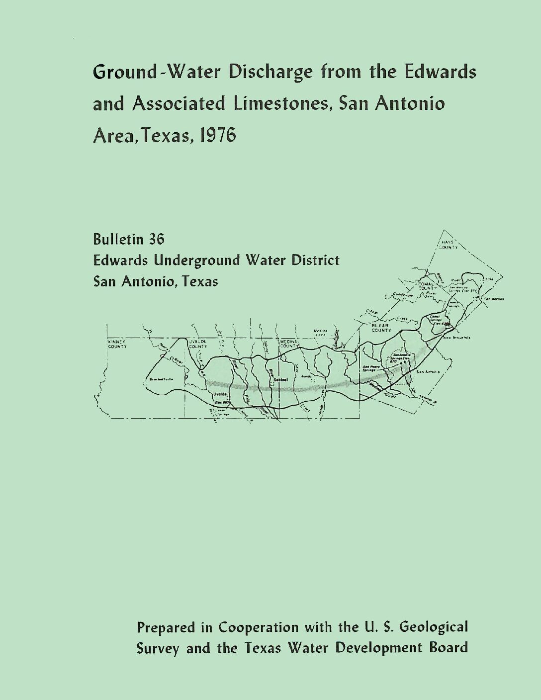
Description: Annual report for 1976 on discharge from the Edwards Aquifer issued by the Edwards Underground Water District
Report Number: Bulletin 36
Location: Edwards Aquifer Balcones Fault Zone San Antonio Segment
Summary:The estimated total discharge from wells and springs in the Edwards and associated limestones in the San Antonio area during 1976 was 853,400 acre-feet. The total discharge from wells and springs in 1976 was about 2 percent less than in 1975 and about 50 percent more than the average for 1934-75.
About 41 percent of the total discharge was from wells, and approximately two-thirds of this amount was from wells in Bexar County. The discharge from wells in 1976 was 6 percent more than in 1975; springflow decreased by about 7 percent.
Ground-Water Discharge from the Edwards and Associated Limestones, San Antonio Area, Texas, 1975
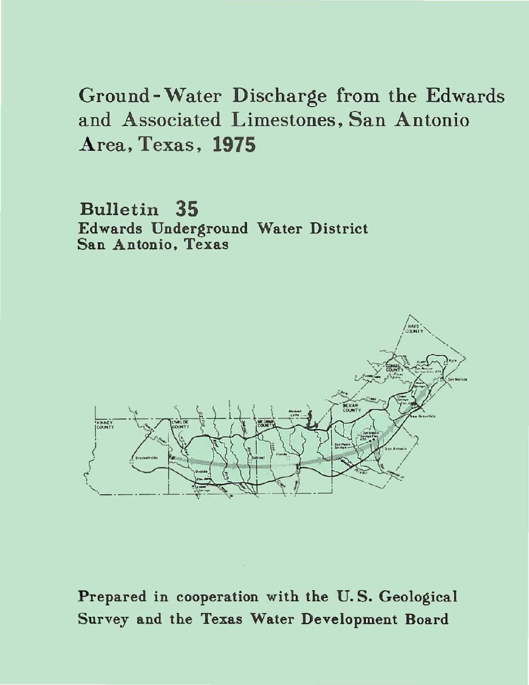
Description: Annual report for 1975 on discharge from the Edwards Aquifer issued by the Edwards Underground Water District
Report Number: Bulletin 35
Location: Edwards Aquifer - San Antonio Area
Summary:The estimated total discharge from wells and springs in the Edwards and associated limestones in the San Antonio area during 1975 was 868,200 acre-feet, which is the record high for the period 1934-75. The total discharge from wells and springs in 1975 was about 2 percent more than in 1974 and about 55 percent more than the average for 1934-74.
About 38 percent of the total discharge was from wells, and approximately two-thirds of this amount was from wells in Bexar County. The discharge from wells in 1975 was 10 percent less than in 1974; springflow increased by about 12 percent.
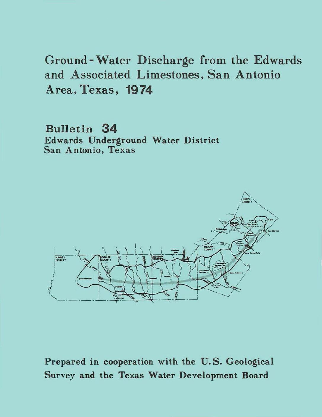
Ground-Water Discharge from the Edwards and Associated Limestones, San Antonio Area, Texas, 1974
Description: Annual report for 1974 on discharge from the Edwards Aquifer issued by the Edwards Underground Water District
Report Number: Bulletin 34
Location: Edwards Aquifer Balcones Fault Zone San Antonio Segment
Summary:The estimated total well and spring discharge from the Edwards and associated limestones in the San Antonio area during 1974 was 847,500 acre-feet, which is the record high for the period 1934-74. The total discharge from wells and springs for 1974 was about one percent more than in 1973 and 53 percent more than the average for 1934-73.
About 43 percent of the total discharge came from wells, and approximately two-thirds of the well discharge was from wells in Bexar County. Well discharge in 1974 was 17 percent more than in 1973, while springflow decreased by about 8 percent.
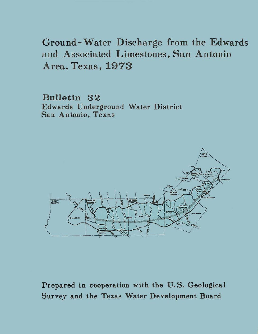
Ground-Water Discharge from the Edwards and Associated Limestones, San Antonio Area, Texas, 1973
Description: Annual report for 1973 on discharge from the Edwards Aquifer issued by the Edwards Underground Water District
Report Number: Bulletin 32
Location: Edwards Aquifer Balcones Fault Zone San Antonio Segment
Summary:The estimated total well and spring discharge from the Edwards and associated limestones in the San Antonio area during 1973 was 838,000 acre-feet, which is the record high for the period 1934-73. The increase was due primarily to above-average springflow.
The total discharge from wells and springs for 1973 was about 12 percent more than in 1972, and 53 percent greater than the average for 1934-72.
About 37 percent of the total discharge came from wells, and approximately two-thirds of this discharge was from wells in Bexar County. Well discharge in 1973 was 16 percent less than in 1972, while springflow increased by about 41 percent.
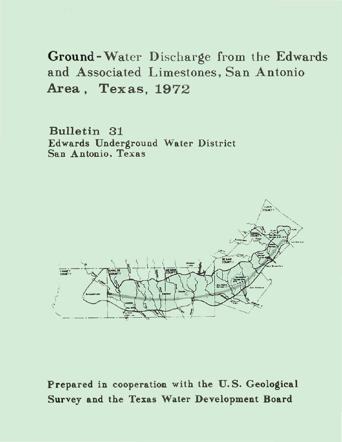
Ground-Water Discharge from the Edwards and Associated Limestones, San Antonio Area, Texas, 1972
Description: Annual report for 1972 on discharge from the Edwards Aquifer issued by the Edwards Underground Water District
Report Number: Bulletin 31
Location: Edwards Aquifer Balcones Fault Zone San Antonio Segment
Summary:The estimated total well and spring discharge from the Edwards and associated limestones in the San Antonio area during 1972 was 747,100 acre-feet, which is the record high for the period 1934-72. The increase was due primarily to above-average springflow.
The total discharge from wells and springs for 1972 was about 10 percent more than in 1971, and 38 percent greater than the average for 1934-71.
About 50 percent of the total discharge came from wells, and approximately two-thirds of this discharge was from wells in Bexar County. Well discharge in 1972 was 10 percent less than in 1971, while springflow increased by about 37 percent.
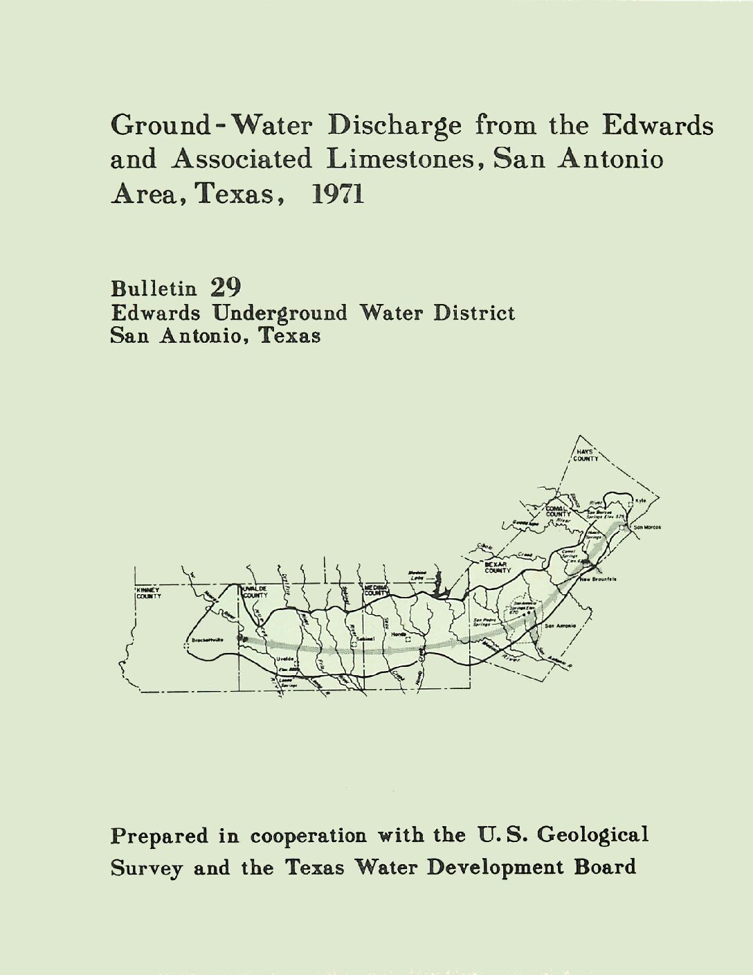
Ground-Water Discharge from the Edwards and Associated Limestones, San Antonio Area, Texas, 1971
Description: Annual report for 1971 on discharge from the Edwards Aquifer issued by the Edwards Underground Water District
Report Number: Bulletin 29
Location: Edwards Aquifer Balcones Fault Zone San Antonio Segment
Summary:The estimated total well and spring discharge from the Edwards and associated limestones in the San Antonio area during 1971 was 679,500 acre-feet, or about seven percent less than 1970. The total discharge was 26 percent greater than the average for 1934-70.
About 60 percent of the total discharge came from wells, and approximately two-thirds of this discharge was from wells in Bexar County. Well discharge in 1971 was 24 percent greater than in 1970, while springflow decreased by about 30 percent.
Deficient rainfall during the spring and early summer of 1971 was mainly responsible for the increased demand for water from wells and the decrease in the discharge of the springs.
Ground-Water Discharge from the Edwards and Associated Limestones, San Antonio Area, Texas, 1970
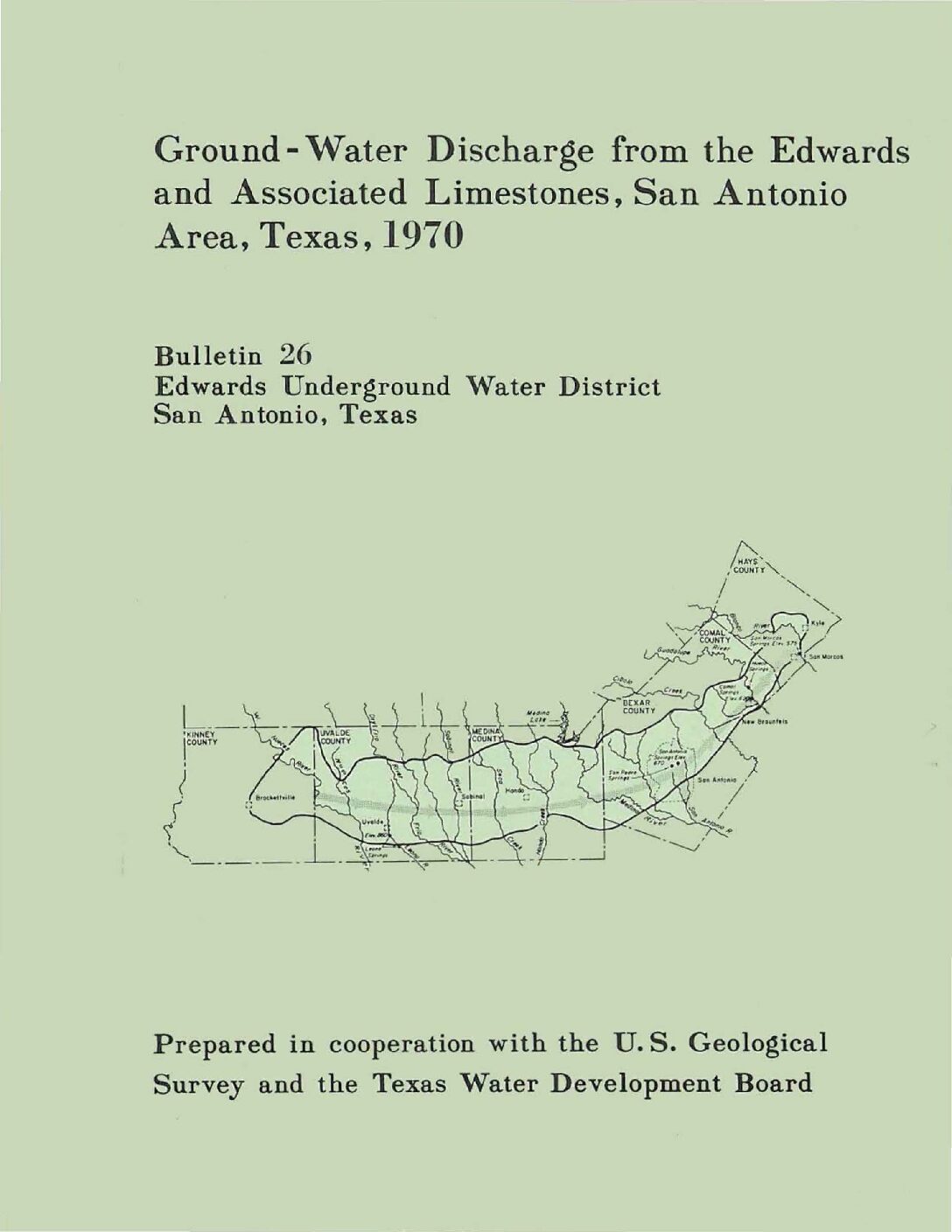
Description: Annual report for 1970 on discharge from the Edwards Aquifer issued by the Edwards Underground Water District
Report Number: Bulletin 26
Location: Edwards Aquifer Balcones Fault Zone San Antonio Segment
Summary:Records of ground-water discharge from the Edwards and associated limestones in the San Antonio area during 1970 are summarized in this report. The compilation of these basic records is part of a continuing hydrologic investigation by the U. S. Geological Survey in cooperation with the Edwards Underground Water District and the Texas Water Development Board. Previous reports are given in the list of references.
The spring discharge was compiled from records of gages operated by the U. S. Geological Survey at the points of discharge. Pumpage for agriculture was estimated from power consumption and irrigated acreage. Records of the annual canvass of pumpage in the San Antonio area by the Texas Water Development Board were used to compile municipal, military, and industrial usage.
The estimated discharge from the Edwards and associated limestones during 1970 is given in table 1. The discharge by springs was from San Marcos Springs in Hays County, Carnal Springs in Comal County, San Antonio and San Pedro Springs in Bexar County, and the Leona River Springs in Uvalde County. The recorded discharge for Leona River Springs includes underflow through the gravel below the Springs.
Major discharge by wells was from Bexar, Uvalde, and Medina Counties, while the major springflow was from Carnal and Hays Counties. Wells in Bexar County supplied water for municipal and military use. other wells in Bexar County and most of the large wells in Uvalde and Medina Counties supplied the irrigation needs for an estimated 50,000 acres. The remaining discharge, principally from wells in Bexar County, was for industrial, domestic, stock, and miscellaneous purposes.
The 1970 estimated total well and spring discharge from the Edwards and associated limestones was 727,100 acre-feet and is the record high for the period 1934-70. The increase was due primarily to above average springflow and pumpage for agricultural purposes.
About 45 percent of the total discharge came from wells, and approximately two-thirds of this discharge was from wells in Bexar County. Well discharge in 1970 was 7 percent greater than 1969, while the total discharge from wells and springs was 10 percent greater. Compared to the 1934-69 average, the total discharge was 36 percent greater.
Ground-Water Discharge from the Edwards and Associated Limestones, San Antonio Area, Texas, 1969
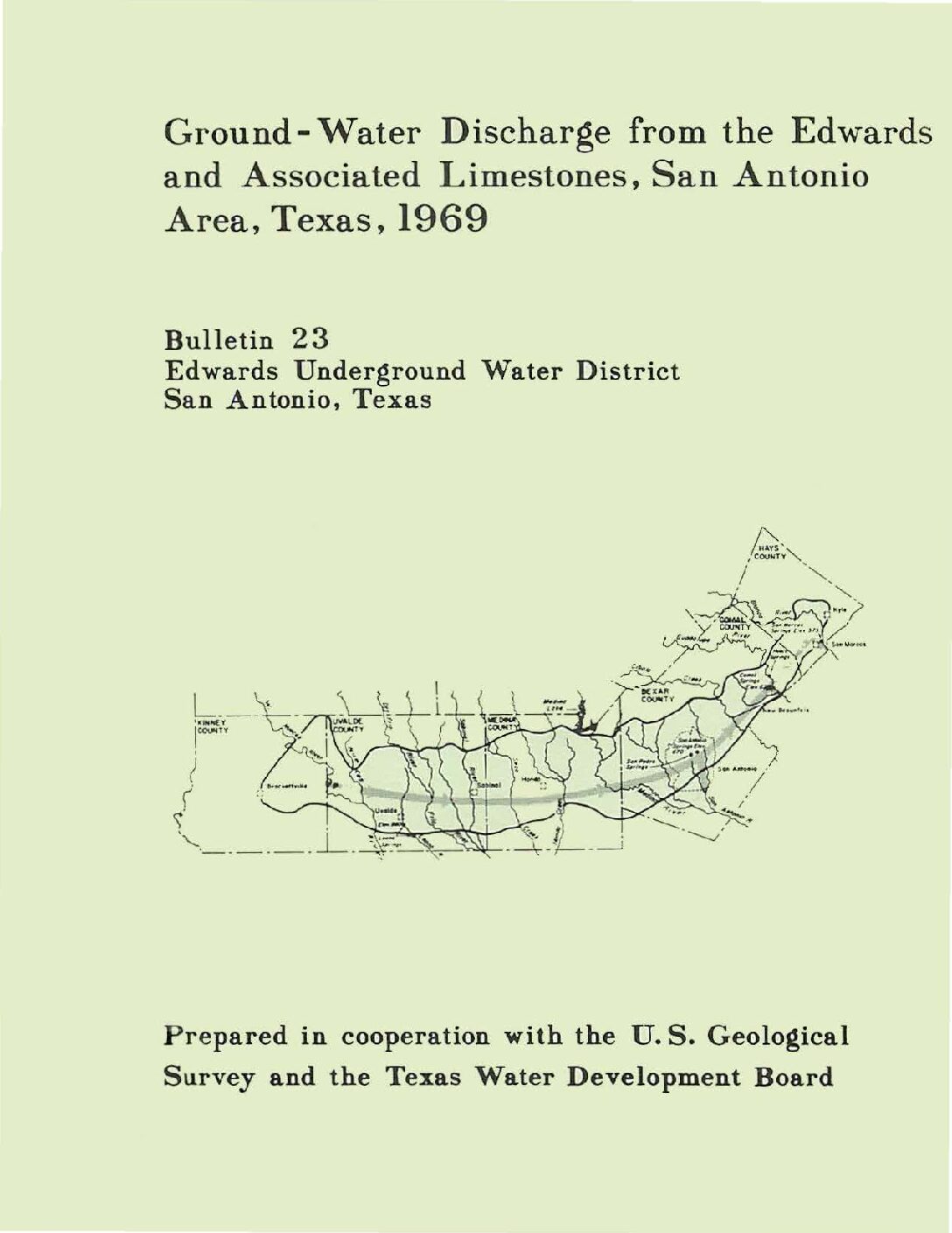
Description: Annual report for 1969 on discharge from the Edwards Aquifer issued by the Edwards Underground Water District
Report Number: Bulletin 23
Location: Edwards Aquifer Balcones Fault Zone San Antonio Segment
Summary:Records of ground-water discharge from the Edwards and associated limestones in the San Antonio area during 1969 are summarized in this report. The compilation of these basic records is part of a continuing hydrologic investigation by the U.S. Geological Survey in cooperation with the Edwards Underground water District and the Texas Water Development Board. Previous reports are given in the list of references.
The spring discharge was compiled from records of gages operated by the U.S. Geological Survey at the points of discharge. Pumpage for agriculture was estimated from power consumption and irrigation acreage. Records of the annual canvass of pumpage in the San Antonio area by the Texas Water Development Board were used to compile municipal, military, and industrial usage.
The estimated discharge from the Edwards and associated limestones during 1969 is given in table 1. The discharge by springs was from San Marcos Springs in Hays County, Comal Springs in Comal County, San Antonio and San Pedro Springs in Bexar County, and the Leona River Springs in Uvalde County. The recorded discharge for Leona River Springs includes underflow through the gravel below the Springs.
Major discharge by wells was from Bexar, Uvalde and Medina Counties, while the major springflow was from Comal and Hays Counties. Wells in Bexar County supplied water for municipal and military use. Other wells in Bexar County and most of the large wells in Uvalde and Medina Counties supplied the irrigation needs for an estimated 50,000 acres. The remaining discharge, principally from wells in Bexar County, was for industrial, domestic, stock, and miscellaneous purposes.
About 47 percent of the total discharge from the Edwards and associated limestones came from wells, and nearly three-fourths of this discharge was from wells in Bexar County. Well discharge in 1969 was 22 percent greater than 1968, while the total discharge from wells and springs was essentially the same. Compared to the 1934-68 average, the total discharge was 24 percent greater.
Ground-Water Discharge from the Edwards and Associated Limestones, San Antonio Area, Texas, 1968
Description: Annual report for 1968 on discharge from the Edwards Aquifer issued by the Edwards Underground Water District
Report Number: Bulletin 20
Location: Edwards Aquifer Balcones Fault Zone San Antonio Segment
Summary:Records of the ground-water discharge from the Lower Cretaceous Edwards and associated limestones in the San Antonio area are collected yearly as part of an overall hydrologic investigation by the U. S. Geological Survey in cooperation with the Edwards Underground Water District and the Texas Water Development Board. This investigation has continued for many years and has resulted in several geologic and hydrologic reports, some of which are listed in the references.
The 1968 average discharge from the Edwards and associated limestones is presented in the table of this report by county area and by use. The discharge by .springs was from San Marcos Springs in Hays County, Comal Springs in Comal County, San Antonio and San Pedro Springs in Bexar County, and the Leona River Springs in Uvalde County. The recorded discharge for Leona River Springs includes underflow.
The spring discharge was compiled from records of gages operated by the Geological Survey at the points of discharge. Pumpage for agriculture was estimated from power consumption and acreage. Records of the Texas Water Development Board's annual canvass of the municipal, military, and industrial pumpage in the San Antonio area were used in the preparation of the table in this report.
Major discharge by wells was from Bexar, Uvalde, and Medina Counties, while the major springflow was from Comal and Hays Counties. Wells in Bexar County supplied water for municipal and military use, the largest use in the San Antonio area. Other wells in Bexar County and most of the large wells in Uvalde and Medina Counties supplied the irrigation needs for an estimated 50,000 acres in this combined area. The remaining discharge, principally from wells in Bexar County, was for industrial, domestic, stock, and miscellaneous purposes.
About 38 percent of the total discharge from the Edwards and associated limestones came from wells, and three-fourths of this discharge was from wells in Bexar County. Well discharge in 1968 was 26 percent less than 1967: the total discharge from wells and springs increased by about 18 percent. Compared to the 1934-67 average, the total discharge was 26 percent greater.
Ground-Water Discharge from the Edwards and Associated Limestones, San Antonio Area, Texas, 1967
Description: Annual report for 1967 on discharge from the Edwards Aquifer issued by the Edwards Underground Water District
Report Number: Bulletin 17
Location: Edwards Aquifer Balcones Fault Zone San Antonio Segment
Summary:Records of the ground-water discharge from the Lower Cretaceous Edwards and associated limestones in the San Antonio area are collected yearly as part of an overall hydrologic investigation by the U. S. Geological Survey in cooperation with the Edwards Underground Water District and the Texas Water Development Board . This investigation has continued for many years and has resulted in several geologic and hydrologic reports, some of which are listed in the references.
The 1967 average discharge from the Edwards and associated limestones is presented in the table of this report by county area and by use . The discharge by springs was from San Marcos Springs in Hays County, Comal Springs in Comal County, San Antonio and San Pedro SprIngs in Bexar County, and the Leona River Springs in Uvalde County. The recorded discharge for Leona River Springs includes underflow. The spring discharge was compiled from gages operated by the Geological Survey at the points of discharge. Pumpage for agriculture was estimated from power consumption and acreage. Records of the Texas Water Development Board's annual canvass of the municipal, military, and industrial pumpage in the San Antonio area were used in the preparation of the table in this report.
Major discharge by wells was from Bexar, Uvalde, and Medina Counties, while the major springflow was from Comal and Hays Counties. Wells in Bexar County supplied water for municipal and military use, the largest single use in the San Antonio area. Other wells in Bexar County and most of the large wells in Uvalde and Medina Counties supplied the irrigation needs for an estimated 48,000 acres in this combined area. The remaining discharge, principally from wells in Bexar County, was for industrial, domestic, stock, and miscellaneous purposes.
About 61 percent of the total discharge from the Edwards and associated limestones came from wells, and 70 percent of this discharge was from wells in Bexar County. Deficient rainfall during the spring and summer of 1967 was mainly responsible for an increased demand for water from wells. Well discharge in 1967 was 33 percent greater than in 1966, while the total discharge from wells and springs decreased by about 2 percent.
Ground-Water Discharge from the Edwards and Associated Limestones, San Antonio Area, Texas, 1966
Description: Annual report for 1966 on discharge from the Edwards Aquifer issued by the Edwards Underground Water District
Report Number: Bulletin 14
Location: Edwards Aquifer Balcones Fault Zone San Antonio Segment
Summary:Records of the ground-water discharge from the Lower Cretaceous Edwards and associated limestones in the San Antonio area are collected yearly as part of an overall hydrologic investigation by the U. S. Geological Survey in cooperation with the Edwards Underground Water District, the Texas Water Development Board, and the city of San Antonio. This investigation has continued for many years and has resulted in several geologic and hydrologic reports, some of which are listed in the references. This report is one of three basic-data reports published annually by the Edwards Underground Water District.
The 1966 average discharge from the Edwards and associated limestones is presented in the table of this report by county area and by use. The discharge by springs was from San Marcos Springs in Hays County, Comal Springs in Comal County, San Antonio and San Pedro Springs in Bexar County, and the Leona River Springs in Uvalde County.
The spring discharge was compiled from gages operated by the Geological Survey at the points of discharge. Agriculture pumpage was estimated by the use of power consumption and acreage figures. Records of the Texas Water Development Board's annual canvass of the municipal, military and industrial pumpage in the San Antonio area were used in the preparation of the table of this report.
Most of the discharge by wells was in Bexar, Uvalde, and Medina Counties. Wells in Bexar County supplied most of the water for municipal and military use, the largest single use in the San Antonio area. Other wells in Bexar County and most of the large wells in Uvalde and Medina Counties supplied the irrigation needs of nearly 44,000 acres in this combined area. The remaining discharge, principally from wells in Bexar County, was for industrial, domestic, stock, and miscellaneous purposes. About 45 percent of the total discharge from the Edwards and associated limestones came from wells, and 77 percent of this discharge was from wells in Bexar County. Municipal, military, agricultural, and industrial uses were slightly greater in 1966 than in 1965. Springflow and the remaining well discharge were slightly lower, and the total discharge in 1966 was about 1 percent less than in 1965.
Ground-Water Discharge from the Edwards and Associated Limestones, San Antonio Area, Texas, 1965
Description: Annual report for 1965 on discharge from the Edwards Aquifer issued by the Edwards Underground Water District
Report Number: Bulletin 11
Location: Edwards Aquifer Balcones Fault Zone San Antonio Segment
Summary:Records of the ground-water discharge from the Edwards and associated limestones in the San Antonio area are collected as part of the overall hydrologic investigation of the u. S. Geological Survey in cooperation with the Edwards Underground Water District, the Texas Water Commission , and the city of San Antonio. This investigation has been continued for many years and has resulted in several geologic and hydrologic reports, some of which are listed in the references. This report is one of three basic- data reports published yearly by the Edwards Underground Water District.
The table included in this report represents the discharge from the Edwards and associated limestones during 1965 in each county of the area by use. The spring discharge was from San Marcos Springs in Hays County, Comal Springs in Comal County, San Antonio and San Pedro Springs in Bexar County, and the Leona River Springs in Uvalde County.
Most of the discharge by wells was in Bexar, Uvalde, and Medina Counties. Wells in Bexar County supplied most of the water for municipal and military use, the largest single use in the San Antonio area. Other wells in Bexar County and most of the large wells in Uvalde and Medina Counties supplied the irrigation needs of nearly 44,000 acres in this combined area . The remaining discharge, principally from wells in Bexar County, was for industrial, domestic, stock, and miscellaneous purposes. The discharge by wells in 1965 amounted to 44 percent of the total discharge, which exceeded the 1964 total discharge by more than 100,000 acre-feet. The discharge by wells for both years was approximately the same; therefore, all the increase during 1965 was due to increased flow from the springs.
Ground-Water Discharge from the Edwards and Associated Limestones, San Antonio Area, Texas, 1964
Description: Annual report for 1964 on discharge from the Edwards Aquifer issued by the Edwards Underground Water District
Report Number: Bulletin 8
Location: Edwards Aquifer Balcones Fault Zone San Antonio Segment
Summary:Records of the ground-water discharge from the Lower Cretaceous Edwards and associated limestones in the San Antonio area are collected yearly as part of the overall hydrologic investigation by the U. S. Geological Survey in cooperation with the Edwards Underground Water District, the Texas Water Commission, and the city of San Antonio. The investigation has continued for many years and has resulted in several geologic and hydrologic reports, some of which are listed in the references. This basic-data report is one of three of its type published annually by the Edwards Underground Water District.
The total 1964 discharge from the Edwards and associated limestones in each county in the area is presented in [a] table. The discharge by springs came from five sources: San Marcos Springs in Hays County, Comal Springs in Comal County, San Antonio and San Pedro Springs in Bexar County, and the Leona River Springs in Uvalde County.
On the other hand, most of the discharge from wells originated in Bexar, Uvalde and Medina Counties. The wells in Bexar County not only provided most of the discharge used for municipal and military purposes but, together with the wells in Uvalde and Medina Counties, also met the irrigation needs of over 40,000 acres in the combined area. Most of the remaining discharge“which served industrial, domestic, stock, and miscellaneous uses“was likewise from Bexar County.
About 55 percent of the total discharge from the Edwards and associated limestones came from wells, and 77 percent of this discharge was from wells in Bexar County. Because the well discharge was slightly less than in the preceding year and because the springflow also decreased, the combined well and spring discharge for 1964 was about 41,000 acre-feet less than in 1963.


