
 Aquifer Conditions
Science & Data Document Library
Science and Data Resources
HSPF Recharge Models for the San Antonio Segment of the Balcones Fault Zone of the Edwards Aquifer Part 1
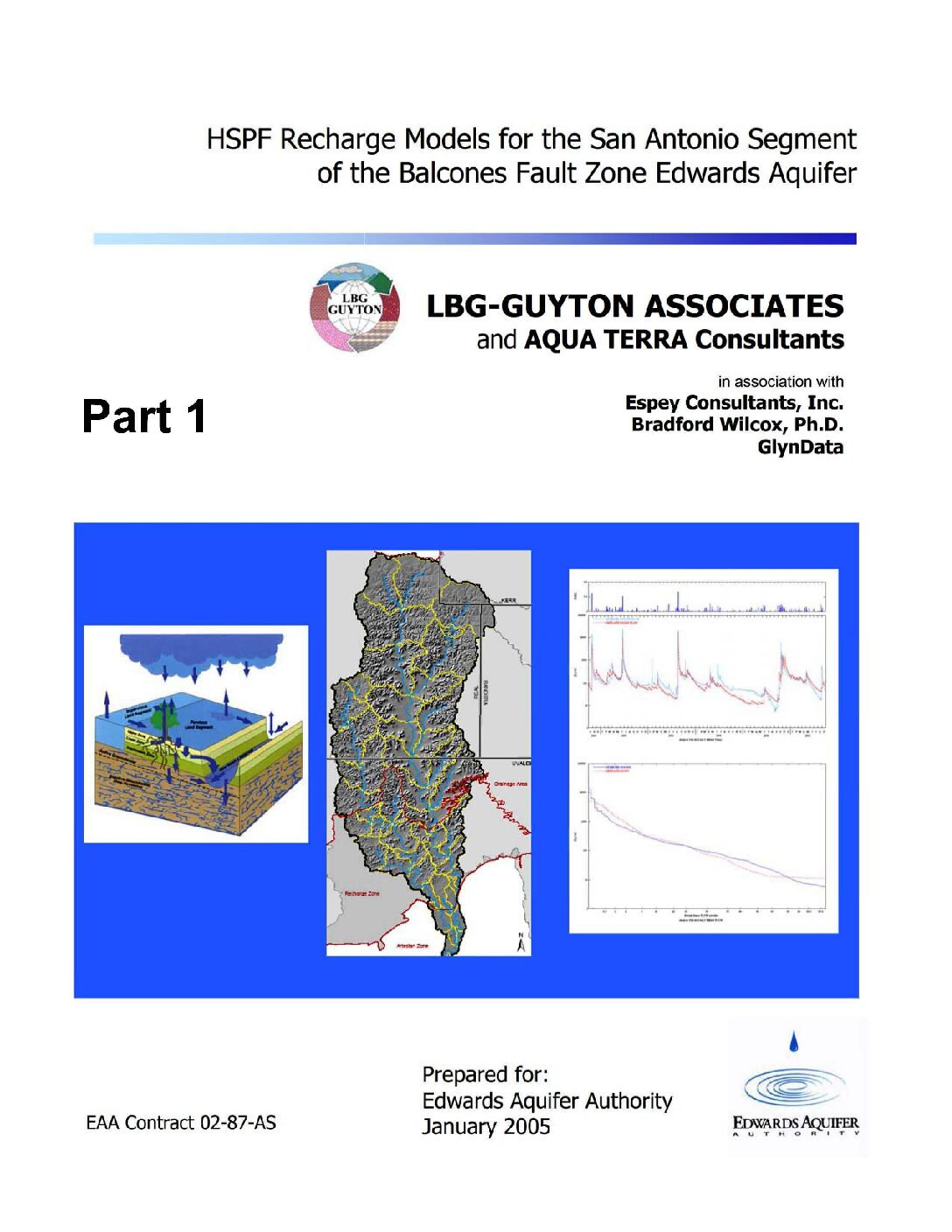
Description: Development of complete contributing and recharge zones for the HSPF enhancement to MODFLOW from historical data on all nine drainage basins of the Edwards Aquifer Balcones Fault Zone San Antonio Segment
Report Number: 02-87-AS
Location: Edwards Aquifer, Balcones Fault Zone, San Antonio Segment, Contributing Zone, Recharge Zone
Summary:Note: This document is Part 1 of 3 parts.
The purpose of this study was to develop a new method for estimating recharge to the Edwards Aquifer. The computer program Hydrologic Simulation Program Fortran (HSPF) was used to develop a comprehensive recharge estimation model for the region. A previously completed pilot study project modeled portions of two of the nine basins applicable to the Edwards Aquifer. The pilot study indicated HSPF as a viable tool for recharge estimation and led to the initiation of this project. This project developed recharge models for all nine basins relevant to the Edwards Aquifer, by modeling the upstream (drainage) area, as well as the recharge zone of the aquifer. The project was completed in March 2005 by LBG Guyton Associates, Inc., Austin, Texas.
[From the Executive Summary]
Hydrologic models have been developed for the nine basins that recharge the San Antonio section of the Edwards Aquifer and recharge estimates from these models have been implemented into recharge data for the Edwards Aquifer MODFLOW model. The models have been calibrated for the basins of the (1) Nueces/West Nueces Rivers, (2) Frio/Dry Frio Rivers, (3) Sabinal River, (4) area between Sabinal and Medina River (Seco and Hondo Creeks), (5) Medina River, (6) area between Medina and Cibolo (San Geronimo, Helotes, and Salado Creeks), (7) Cibolo/Dry Comal Creeks, (8) Guadalupe River, and (9) Blanco River.
The main objective of the project was to develop hydrologic simulation models for the entire contributing and recharge zone of the Edwards Aquifer with the main focus being to estimate historical recharge to the Edwards Aquifer from 1950 through 2000. In addition to estimating
recharge, secondary objectives of the project were to ensure that the models were compatible with the future goals of assessing issues important to the Authority and other stakeholders, including water quality, land use changes, weather modification, brush control, recharge dams, and flood control. To achieve these goals, the entire contributing zone (above the Edwards aquifer recharge zone) of each of the nine basins was incorporated into the models.
The HSPF models are valuable tools for simulating the hydrology of the nine basins and assessing recharge under various hydrologic conditions. The models provide a new tool for assessing hourly hydrology, which could not be done with the traditional methods. They simulate each basin more discretely than the traditional methods do; which makes the models more appropriate for evaluating recharge enhancement, water quality and many other technical and regulatory issues.
To improve the accuracy of the models, more detailed field studies should be completed in selected areas of the recharge zone. These assessments should include field-scale rainfall-runoff and evaporation studies, tracer studies, channel loss studies, and other evaluations. Suggested model improvements include incorporating more detailed precipitation data from Authority rain gages that has been collected since this study was initiated; estimating model parameters by developing models for smaller watersheds; and enhancing the existing models to simulate water quality.
Enhanced Characterization and Representation of Flow through Karst Aquifers-Phase II Revision 1
Description: Development and testing of the MODFLOW DCM version 2.0 model for karst aquifers
Report Number: SwRI Project 20-11674
Location: Edwards Aquifer, Balcones Fault Zone, Barton Springs Segment; Floridan Aquifer, Santa Fe River Sink/Rise system
Summary:In 2003, Southwest Research Institute® (SwRI) initiated a long-term project to develop new modeling approaches and tools to address applications involving karst aquifers with significant conduit flow. Phase I of the project identified key considerations for modeling karst aquifers, evaluated existing modeling approaches, and selected an approach for detailed investigation and development. To meet the modeling needs, DCM Version 1.0, a dual-conductivity model for MODFLOW, was developed. The first application using DCM enhanced an existing MODFLOW model for the Barton Springs segment of the Edwards Aquifer. Reasonable replication of the conduit/matrix flow system was achieved in terms of matching hydraulic heads and spring discharge.
Phase II of the karst modeling project was commissioned by the Edwards Aquifer Authority and the Southwest Florida Water Management District and initiated in mid-2005. The objective of Phase II was to enhance the karst modeling approach that was developed during Phase I and assess the capability and limitations of DCM by applying it to two karst aquifers that exhibit contrasting hydrogeologic characteristics: the Barton Springs segment of the Edwards Aquifer in south-central Texas and the Santa Fe River Sink/Rise system of the Floridan Aquifer in north-central Florida.
A new solver capable of solving the highly nonlinear systems associated with the conduit/matrix flow regime under confined/unconfined conditions was developed.. Because of this new data requirement, the resulting dual-conductivity model could not be implemented as a self-contained package, and it was necessary to modify multiple packages. Therefore, a new MODFLOW variant, MODFLOW-DCM Version 2.0, was created. ..
The Barton Springs model was completely revised in Phase II by incorporating site-specific groundwater hydraulic data and more detailed conduit characterization information. The model was successfully calibrated to hydraulic head and spring flows for steady and transient conditions. Sensitivities to major parameters were identified. MODFLOW-DCM successfully simulated the drying and rewetting of cells in the unconfined recharge zone of the Barton Springs model.. Sensitivity analysis indicated that the addition of the turbulence model resulted in an improved match to the dynamic spring hydrograph for Barton Springs and that the matrix/conduit exchange parameter can be tuned to allow for a better match of dynamic spring flow.
Model results also highlighted the sensitivity of spring discharge to conduit elevation relative to matrix elevation. This important outcome confirms that conduit elevations influence flow during low-flow conditions because some conduits can become dewatered when water levels are sufficiently lowered. This feature enables the conduit elevations to be determined by model calibration during low-flow periods.
MODFLOW-DCM was applied to the Santa Fe River Sink/Rise system in the Floridan Aquifer to test the ability of MODFLOW-DCM to simulate large flow karst systems with relatively high matrix permeability. Although the Santa Fe River Sink/Rise system was selected because there is extensive data on site characterization, it was necessary to develop a new MODFLOW model because the scale and resolution of existing models were inappropriate to test the ability of MODFLOW-DCM to match the dynamic hydraulics of the Santa Fe River Sink/Rise system.
The Floridan Aquifer model reasonably captured the basic hydraulic dynamics of the Santa Fe River Sink/Rise system in terms of water elevations at the River Sink and River Rise, discharge at the River Rise, and hydraulic head values at four calibration wells.
The MODFLOW-DCM variant is completed and promises to provide significant improvements in modeling groundwater flow through conduits located within porous media. Interest has shifted from model development to model calibration and parameter estimation. Development of advanced calibration and parameter estimation tools and techniques will allow for quicker and better focused karst aquifer characterization.
Edwards Aquifer Authority Synoptic Water Level Program 1999-2004 Report
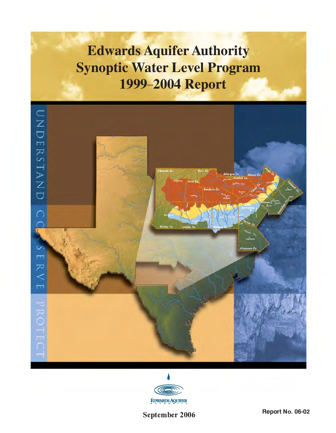
Description: 1999-2004 synoptic water level study
Report Number: 2-Jun
Location: Edwards Aquifer, Balcones Fault Zone, San Antonio Segment
Summary:The Edwards Aquifer Optimization Program was created to better manage the Edwards Aquifer by furthering the understanding of the aquifer and the natural systems it supports. The goal of the Synoptic Water Level Study is to contrast the water level changes during low to high demand periods. By measuring wells in each county, the Authority is able to obtain an aquifer-wide snapshot' to determine aquifer groundwater level and flow conditions. The data for the period 1999-2004 are summarized in the report. The report includes a summary of the findings through 2004, as well as water level contour maps, and tables of all water level measurements collected.
This research project is being conducted in cooperation with the San Antonio Water System, Texas Water Development Board, and U.S. Geological Survey.
[From Recommendations and Conclusions]
[T]he synoptic data reported herein effectively summarize the shape of the water surface in the Edwards Aquifer on a regional scale for a range of aquifer water levels. This summary was accomplished by collection, validation, and analysis of the 16 synoptic data sets included herein. The study also indicates that localized variations exist in the aquifer's flow regime, with the most prominent variations apparently occurring between recharge and artesian zones. The study has also confirmed the need to collect focused synoptic data in order for more insight to be gained with regard to flowpaths within the aquifer. The variations detected in the recharge zone of Bexar County confirm the efficacy of additional data points (see Figure 5).
This study has also effectively identified areas in need of more detailed investigation, such as the Knippa Gap, Cibolo Creek area, Hays County groundwater divide, and the interface between the Trinity and Edwards aquifers, as well as the recharge and artesian zone boundary within the Edwards Aquifer.
Collection of regional and focused synoptic data will help to improve the general understanding of the system and the flowpaths that exist within it.
Interconnection of the Trinity (Glen Rose) and Edwards Aquifers along the Balcones Fault Zone and Related Topics Karst Conservation Initiative
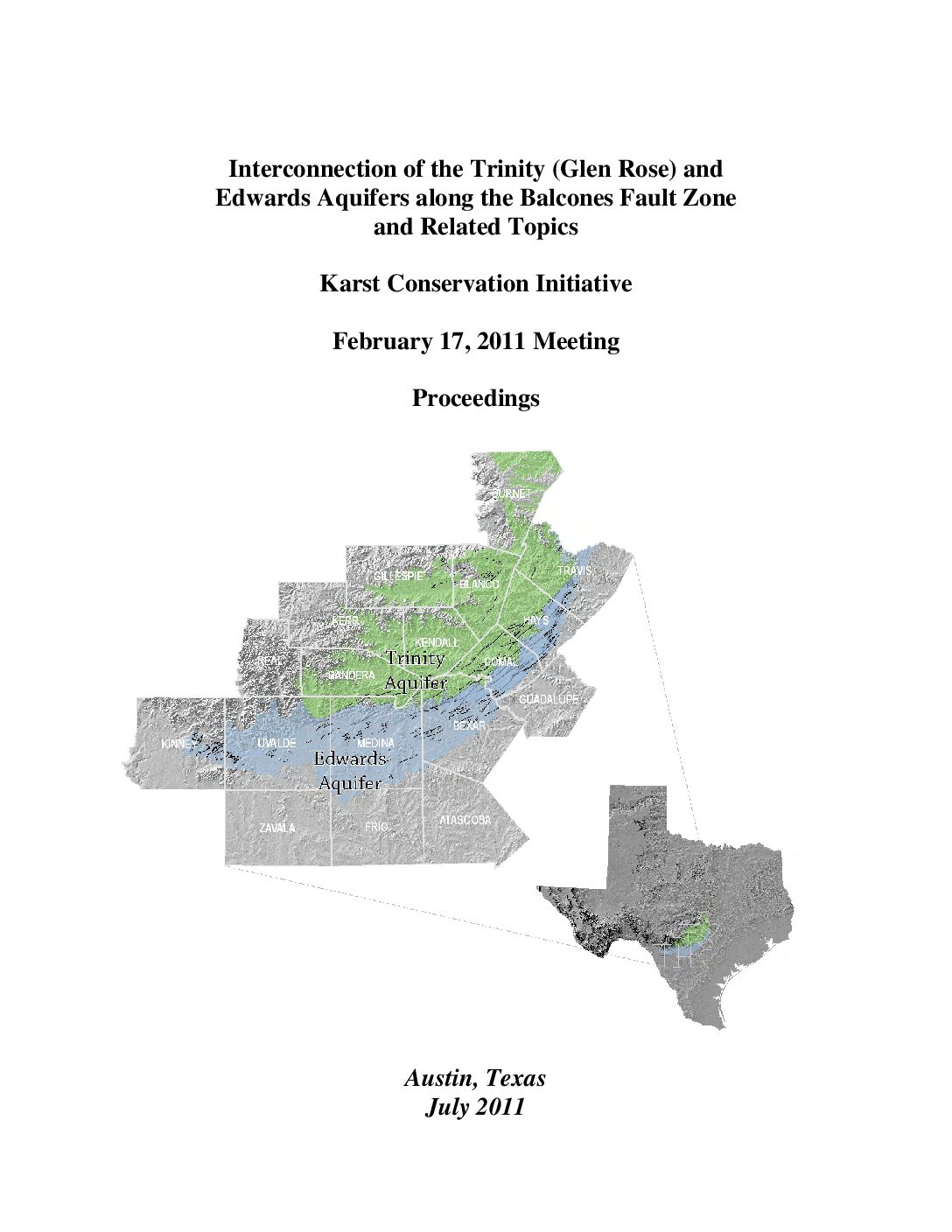
Description: Edwards Aquifer Upper Glen Rose Aquifer Hydraulic Interaction
Report Number: 1131
Location: Edwards Aquifer, Upper Glen Rose Aquifer
Edwards Aquifer Authority Synoptic Water Level Program 2005-2009 Water Level Data
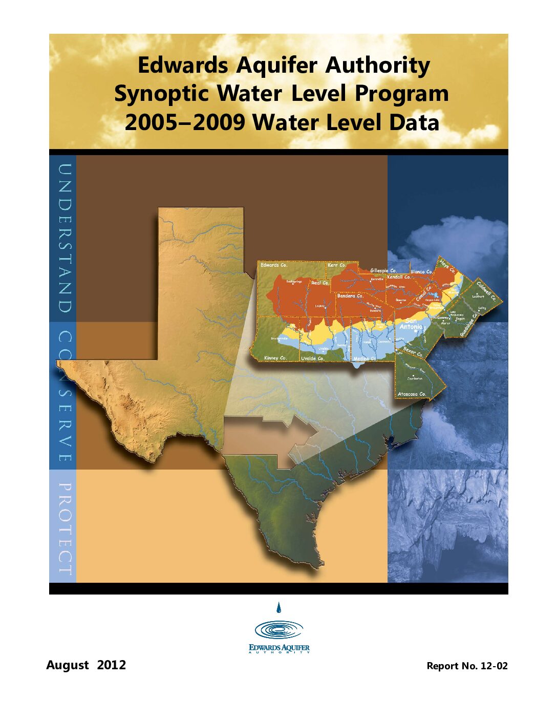
Description: 2005-2009 synoptic water level study
Report Number: 2-Dec
Location: Edwards Aquifer, Balcones Fault Zone, San Antonio Segment
Summary:[Excerpted from Summary and Conclusions]
[T]he study indicates that localized variations exist in the aquifer's flow regime, with the most prominent variations apparently occurring between recharge and artesian zones. The study has also confirmed the need to continue collecting focused synoptic data so that more insight might be gained with regard to flowpaths within the aquifer. Variations detected in the recharge zone of Bexar County confirm the efficacy of additional data points (see Figure 5).
This study has also effectively identified areas in need of more detailed investigation, such as the Knippa Gap, the Cibolo Creek area, and the interface between the Trinity and Edwards aquifers, as well as the recharge- and artesian-zone boundary within the Edwards Aquifer.
Diversion Spring Cave
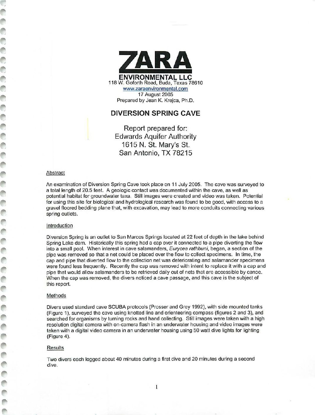
Description: Documentation of hydrogeology, structure and fauna in Diversion Spring Cave, Hays County, TX
Location: Hays County, San Marcos Springs
Summary:An examination of Diversion Spring Cave took place on 11 July 2005. The cave was surveyed to a total length of 20.5 feet. A geologic contact was documented within the cave, as well as potential habitat for groundwater taxa. Still images were created and video was taken. Potential for using this site for biological and hydrological research was found to be good, with access to a gravel floored bedding plane that, with excavation, may lead to more conduits connecting various spring outlets.
A preliminary report of findings for the karst terrains feature known as Rugh Cavern, located along northern Seco Creek, northwestern Medina County, Texas
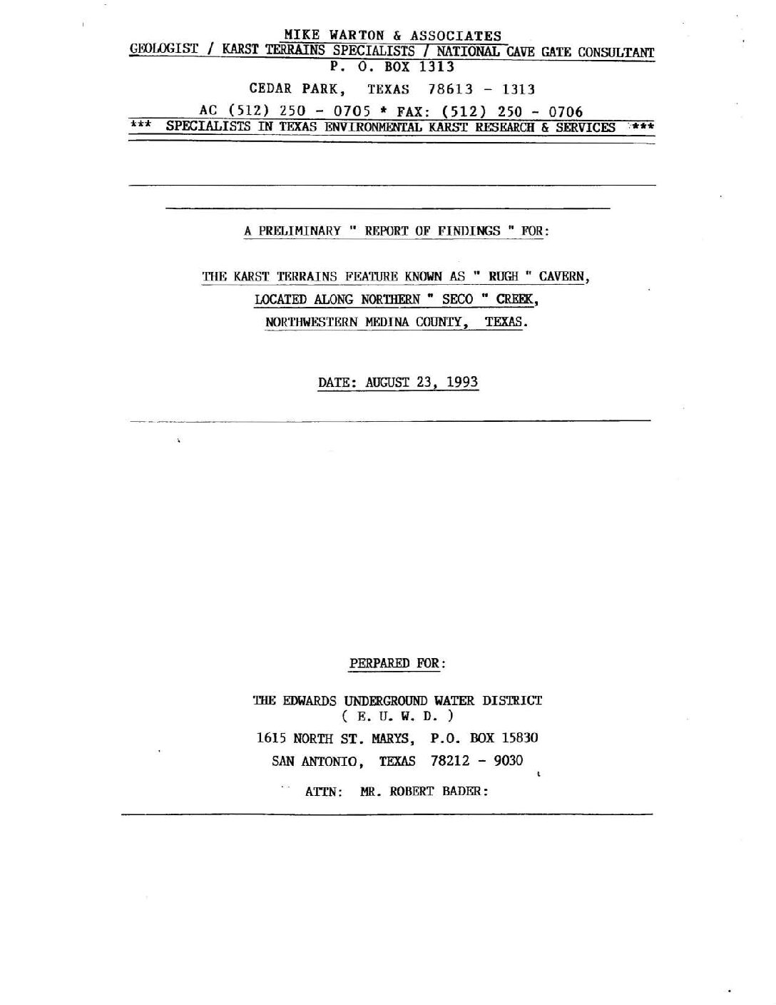
Description: Preliminary findings on Rugh Sinkhole/Cave in Seco Creek, Medina County, TX
Location: Seco Creek, Medina County, TX
Summary:The Karst Terrains Recharge Feature presently known as RUGH SINKHOLE I CAVE is Located approx. 1.5 Miles upstream from the Valdina Farms Sinkhole / Cave Site along SECO Creek in Medina County, Texas. This Feature occurs along the SOUTHWEST Bank of SECO Creek, at which point the Creeks [sic] active wash channel measures 53' Feet wide. The Cave's entrance measures approx. 2.5' Feet wide x 3/5' Feet in Length, and is somewhat Diamond Shaped in configuration. The edges of the entrance consist of a layer of Limestone which is approx. 8 to 10 inches thick, and well undercut below apparently in all directions. The Entrance drop was reported to be an approx. 10' to 12' Foot free drop. At the time I observed this Feature, it was actively insurging approx. 8 to 10 C.F.S., captivating the flow of SECO Creek. The Stream channel flowing into this Feature measured approx. from 6 to 12 inches in depth X 6.0' Feet wide at the Cave's Entrance. It was not possible to enter the Cave under these conditions. Measurements were taken for a protective Recharge Gate. The Cave's Entrance, as well as a large collapse sink further up on the bank are developed along a strong Fracture Lineament Trend of N. 60 E. The distance from the Insurgence Entrance to the collapse sink further up the bank is 59' Feet.
Several observations of this new Recharge Feature were made. This Feature, according to local sources has recently opened up within the last TWO (2) years to a physically accessible size. The Cave's entrance appears to be positioned at approx. 1230' MSL., and developed in the Lower GLEN ROSE LIMESTONE FORMATION (Kgr). It would seem apparent that this subgrade water course is highly likely to connect to the same conduit system represented at the bottom of Valdina Farms Sinkhole / Cave. A dye trace test might be very successful in proving this. This Feature will insurge a great amount of water into the subgrade before the creek flow reaches Valdina Farms Sinkhole / Cave. If any Insurgence figures have been previously calculated for Valdina Farms Sinkhole / Cave, the recharge loss at this new Site would probably significantly effect [sic] calculations at Valdina Farms Sinkhole / Cave. It was my impression, that RUGH Sinkhole / Cave might yield an extensive network of stream conduit passage under exploration efforts.
Some concerns have been expressed for a protective recharge Cave Gate. If & when this would be performed, conditions would have to be dry at the Cave's entrance, which is also an ideal time for exploration efforts and interior documentations. Due to the nature of RUGH Sinkhole / Cave, this Feature represents a very dangerous situation during times of active Insurgence. Gating this Feature most definitely is viewed as a warranted and wise decision.
Preliminary Report of Biological Investigation Valdina Farms Sinkhole-Medina Co., Texas
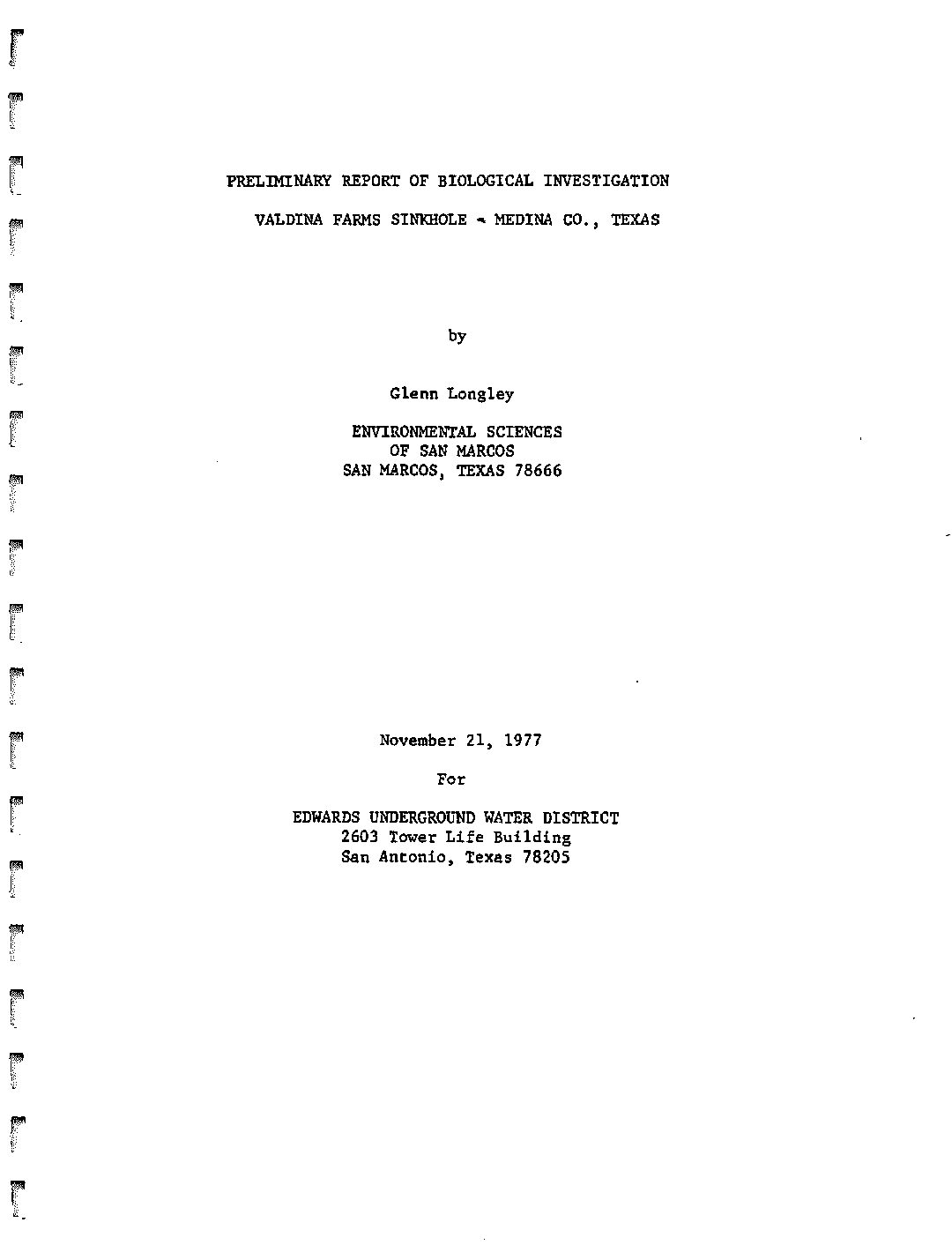
Description: Documentation of fauna in Valdina Farms Sinkhole, Medina County, 1977
Location: Medina County
Summary:Valdina Farms Sinkhole occurs on the recharge zone of the Edwards Aquifer in Northwest Medina County.Geologists of the U.S. Geological Survey have observed large quantities of water entering the sinkhole during floods. The Edwards Underground Water District proposes to construct a dam on Seco Creek with a diversion channel that would direct additional water into Valdina Farms Sinkhole. The U.S. Geological Survey estimates that the proposed construction would add an average of 1400 acre feet of water to the aquifer each year. This flow would otherwise leave the recharge zone. The diversion channel is to be constructed in a manner such that boulders, large rocks and other large debris will not enter the cave.
[Dr. Longley was tasked with surveying the sinkhole and cave, and determining whether or not the proposed dam and diversion channel would adversely affect the fauna living there.]
In summary, the following main conclusions have been derived from this study:
1) The project will not cause the extinction of Eurycea troglodytes (Valdina Farms Salamander).
2) There is considerable doubt that the salamander is a distinct species, but instead is a form of Eurycea neotenes (Edwards Plateau Spring Salamander) ¢
3) The cave will not plug up as a result of the proposed project.
4) The additional recharge that will include some non-toxic organic matter will stimulate the subterranean ecosystem.
5) The recharge will be of considerable benefit to the aquifer which is having ever increasing demands placed on it by pumping.
6) This will likely benefit organisms in springs fed by the aquifer due to prolonged flow.
7) This site is one of the best possible choices for additional recharge due to the low population density in the watershed above the site. Due to its location this area will not be heavily populated in the foreseeable future.
8) Any risk to terrestrial forms in the cave is far outweighed by the benefits to organisms in other areas (this includes man).
9) Pesticide use in the area above the watershed should be maintained at present levels which apparently are minimal.
10) Persons involved in the evaluation of this project should look at the overall benefits and weigh them against the potential costs environmentally.
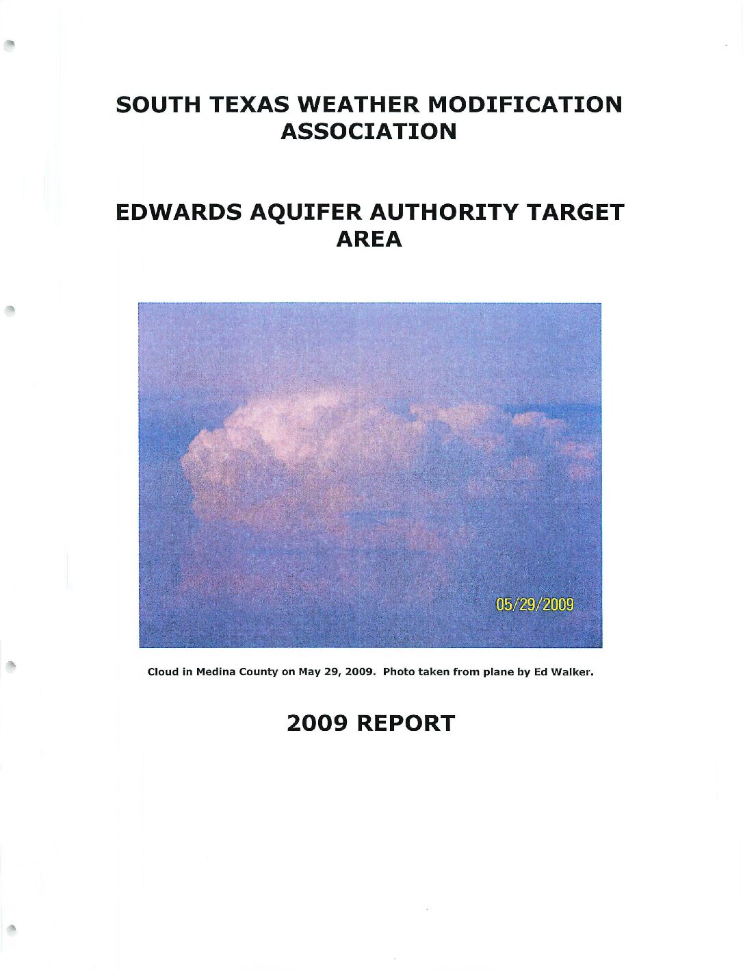
South Texas Weather Modification Association Edwards Aquifer Authority Target Area 2009 Report
Description: Weather modification program by South Texas Weather Modification Association for the Edwards Aquifer Authority in 2009
Location: South Texas
Summary:The 2009 season marked year number eight for cloud seeding operations for the STWMA in the EAA's trl-county area of Bandera, Bexar and Medina. The latter half of May saw several disturbances affecting the area, bringing a number of seeding opportunities to the target area including one randomized seeding case.Toward the end of [June] a couple more days of favorable weather al lowed for seeding operations.By the end of [August}, San Antonio had recorded its warmest June to August period since record keeping began.
Tropical moisture, which had been largely absent for much of the summer, also began to affect the area with showers and thunderstorms dropping heavier amounts of rain than had been seen all summe [in September]. While this was certainly good news for the area, in terms of cloud seedability the highly tropical air mass produced many unfavorable clouds for treatment. There was one more randomized case on the 1st.
With the conclusion of the season, radar data from the TITAN machine were sent to Archie Ruiz, who works for Active Influence performing radar evaluations for the Texas weather modification projects. Despite the dry weather experienced much of the season, the analysis does indicate increases in rainfall from the clouds that were able to be seeded.
The STWMA continued with an experiment within the EAA target area where randomized seeding would take place.Radar data from each day was also to be saved, again for future analysis.
2009 saw only two randomized seeding cases coming to fruition. The continuing problem of clouds developing in clusters as opposed to being isolated resulted in many no-case days.
Assessment of Recharge Benefit from Enhanced Rainfall
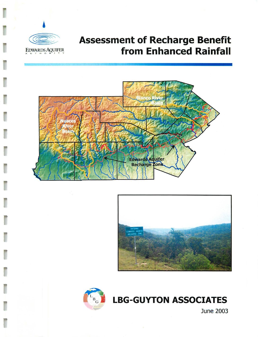
Description: Using the HSPF model to estimate recharge in the Blanco and Nueces River basins from the Edwards Aquifer Authority Precipitation Enhancement Program in 1999-2001
Location: Blanco River Basin, Nueces River Basin
Summary:LBG-Guyton Associates has used pilot recharge models (developed using HSPF (Hydrologic Simulation Package Fortran)) for the Nueces and Blanco River basins to estimate the total amount of increased recharge to the Edwards aquifer during the 1999, 2000, and 2001 Precipitation Enhancement Program (PEP) seasons. Woodley Weather Consultants (WWC)(2002) provided estimates of rainfall and seeding-induced rainfall increments for the Nueces and Blanco basins during the 1999, 2000, and 2001 seasons. These estimates of increased precipitation were used as a basis for simulating the impact of the PEP on aquifer recharge.
Modeling results indicate the total increased aquifer recharge during 1999, 2000, and 2001 in the Nueces basin was 663, 655 and 654 acre-feet per year respectively, which represents a 0.45, 0.34 and 0.19 percent per year increase respectively. The total increased recharge during the three-year period was 1,972 acre-feet, or 0.29 percent in the Nueces basin. In the Blanco basin, the increased aquifer recharge was 152, 179, and I ,00 I acre- feet per year respectively, which represents a 0.44, 0.56, and 1.92 percent per year increase respectively for the Blanco basin. The total increased aquifer recharge during the three-year period was I ,332 acre-feet, or 1.13 percent in the Blanco basin. About half of the Nueces basin is in the c loud seeding zone, which may have reduced the impact of the PEP with regard to aquifer recharge in that basin.
WWC (2002) indicates that the enhanced precipitation during the 1999, 2000, and 2001 seasons could have been increased if more cloud seeding had been performed. To simulate the effect of potentially greater enhanced precipitation, Scenario I was simulated. Scenario I assumed that the enhanced precipitation was equal to one inch on each of the days for which cloud seeding was considered successful (i.e., five days for Nueces basin and eight days for Blanco basin during the 3-year period). Scenario I modeling results indicate that the total increased aquifer recharge during 1999, 2000, and 2001 in the Nueces basin was 4, 123, 754, and 2,029 acre-feet per year respectively, which represents a 2.8, 0.4, and 0.6 percent per year increase respectively in the total recharge for the Nueces basin. The total increased recharge during the three-year period was 6,906 acre-feet, or 1.0 percent in the Nueces basin. In the Blanco basin, the increased aquifer recharge was I ,717, 550, 2,828 acre-feet per year respectively, which represents a 5.0, 1.7, 5.5 percent per year increase respectively in the total recharge for the Blanco basin. The total increased aquifer recharge during the three-year period was 5,095 acre-feet, or 4.2 percent in the Blanco basin.
Limitations and assumptions of the modeling methodology are discussed in this report. Important factors affecting the evaluation of the PEP are the spatial and temporal accuracy of the precipitation data and the inability of the pilot models to simulate hydrology in the contributing zones of the watersheds that recharge the aquifer. In order to evaluate the PEP in the future, it is recommended that appropriate resources be applied to collecting and evaluating precipitation data, especially during the PEP season. In addition, future models should simulate the hydrology of the entire watershed instead of j ust the recharge zone.
Edwards Aquifer Precipitation Enhancement Program Final Report 2001
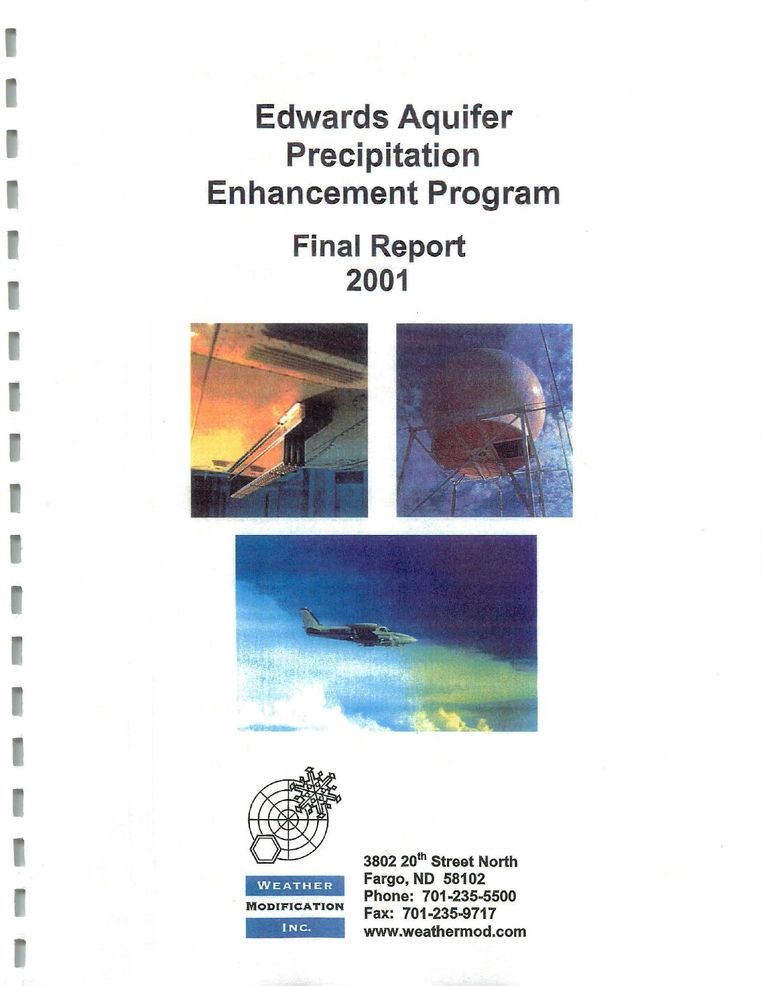
Description: Summary of the Edwards Aquifer Precipitation Enhancement Program for 2001
Location: South Central Texas
Summary:This report summarizes the activities and data collected during the 2001 field operations of the Edwards Aquifer Precipitation Enhancement Program. This was the third year of a program conducted by Weather Modification Inc. (WMI) of Fargo, North Dakota, for the Edwards Aquifer Authority (the Authority) of San Antonio, Texas. The program was funded by the Edwards Aquifer Authority, the Texas Natural Resources Conservation Commission, and the Texas Department of Agriculture, with the sole intent being enhancement of precipitation through cloud seeding. The project area covered 6.37 million acres across south Texas, including all or parts of the following 12 counties: Bandera, Bexar, Blanco, Caldwell, Comal, Guadalupe, Hays, Kendall, Kerr, Medina, Real, and Uvalde. Seeding operations were conducted 24 hours-a-day, seven days a week from April 15 through September 15.
The facilities and procedures for this project were as follows: One C-band weather radar, computers, and a communications system were set up at the centrally located Hondo Regional Airport in Hondo, Texas, to monitor storms and control aircraft. The radar operated continuously throughout the five-month period. The storms, as detected by radar, were posted on the WMI Internet Home Page at 15-minute intervals, thus allowing remote near real-time viewing of operations. Two specially equipped cloud seeding aircraft were dedicated to the project; both were stationed in Hondo. On August 13, 2001, a hangar containing one of the aircraft caught fire and was destroyed, along with the aircraft. A replacement aircraft arrived at Hondo on August 14. Both aircraft were relocated to the Castroville Airport, 15 miles east of Hondo, on the morning of August 14.
High yield formulations of silver-iodide pyrotechnics and acetone solutions were used to generate high concentrations of very fast acting ice-nuclei. High performance aircraft crewed by experienced pilots and directed by experienced radar meteorologists treated developing regions of the storms by direct injection with the seeding agents.
The 2001 field program successfully achieved its objective, to seed those cells thought to have the potential to produce precipitation. During the five-month project, the two aircraft safely completed 58 flights totaling 152 hours 58 minutes. A total of 21.7 kg of seeding agent was dispensed in the form of 834 ejectable flares and approximately 82.8 gallons of silver iodide acetone solution, which was burned in wing-tip generators.
This final report for 2001 provides a general overview of the program and describes the methodology used. Pictures, tables, graphs, and references are used to summarize the operational activities. All of the project's radar data, meteorological data, and reports (weekly operations summaries and monthly reports) have been recorded onto CD-ROM and are available to the Authority.
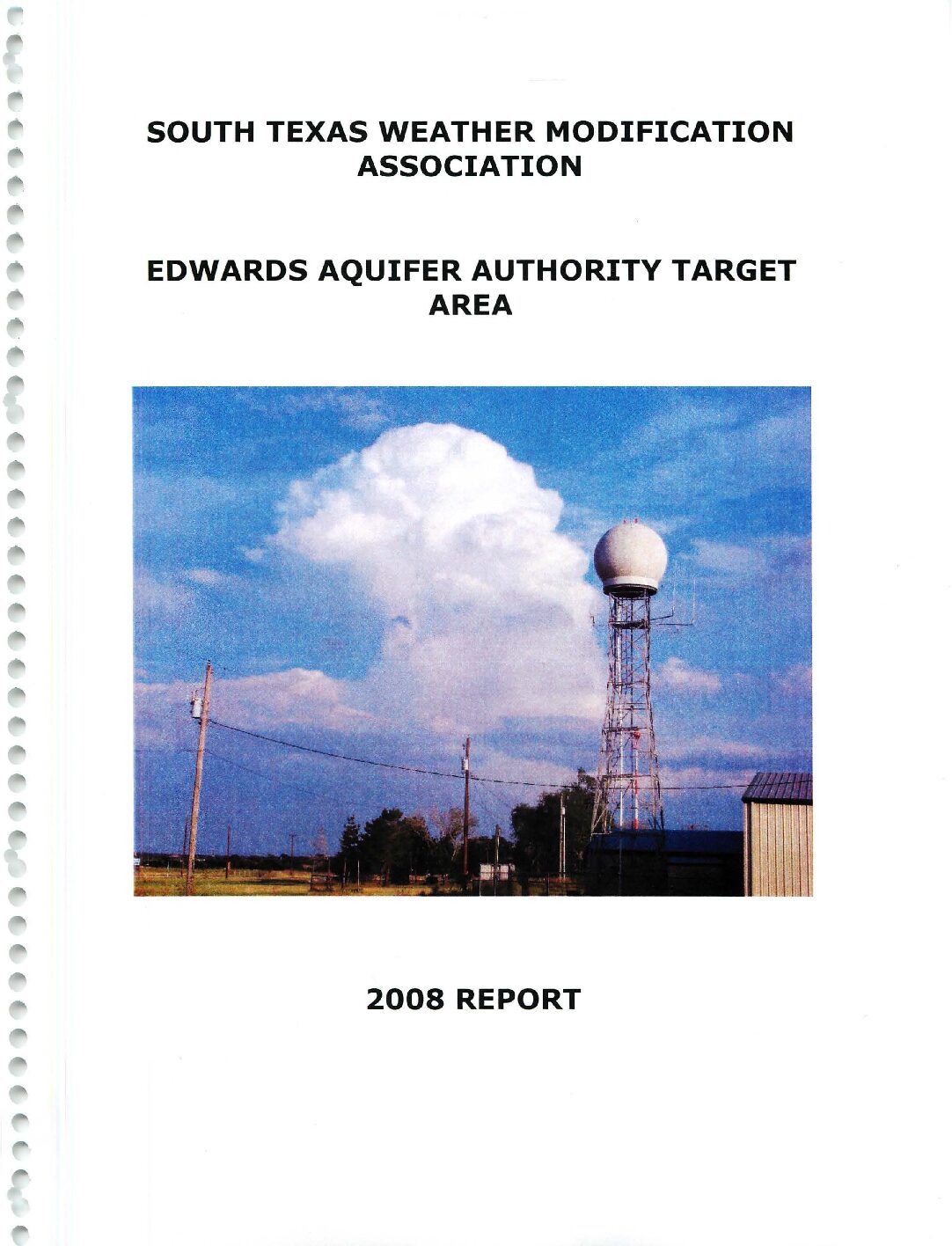
South Texas Weather Modification Association Edwards Aquifer Authority Target Area 2008 Report
Description: Weather modification program by South Texas Weather Modification Association for the Edwards Aquifer Authority in 2008
Location: South Texas
Summary:2008 marked year number seven in terms of cloud seeding operations for the STWMA in the EAA's tri-county area of Bandera, Bexar and Medina. Cloud seeding operations took place on fourteen days during the season.
At the request of the EAA, the STWMA continued with year two of a three-year experiment within the EAA target area where randomized seeding would take place.Within the tri-county area of Bandera, Bexar and Medina, there were no candidates that presented themselves for randomization. Only one cloud in the 5 month season, in Uvalde County, satisfied the criteria for protocol enactment.
South Texas Weather Modification Association Edwards Aquifer Authority Target Area 2007 Report
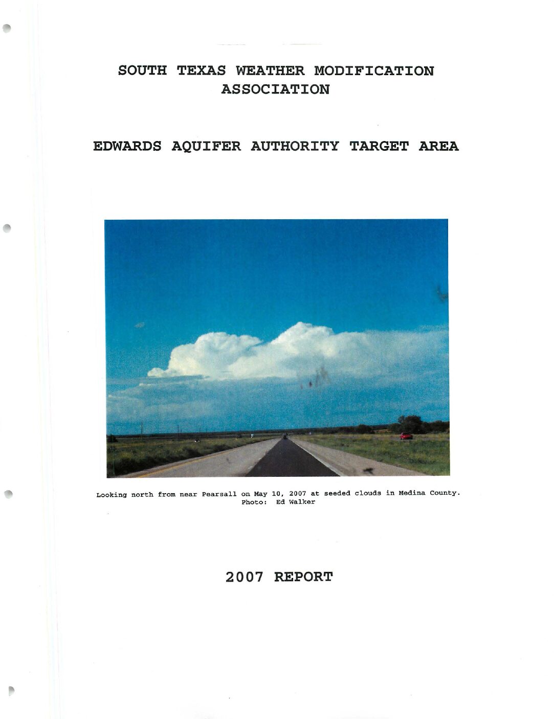
Description: Report of the Edwards Aquifer Authority weather modification program for 2007
Location: South Texas
Summary:STWMA continued to conduct cloud seeding operations over the tri-county EAA target area in 2007, marking year number six. The past year was rather wet, with several intense rainfall episodes occurring in south-central Texas primarily in the May through August period. On several occasions event totals topped ten inches. Because of the persistent heavy rains and subsequent flooding, seeding operations were conducted on fewer days than in years past. 2007 was comparable to 2002, the last time destructive flooding occurred within the target area.
Operations took place on eleven days, with cloud seeding occurring on eight of these days. This compares with 14 days of seeding in 2006, 25 days of seeding in 2005, 20 days of seeding in 2004, 22 days in 2003, and 8 days in 2002.
One of, if not the best day for cloud seeding this past year was on May 10 (photo on cover) when an upper low over north-central Texas helped ignite showers and thunderstorms across the target area. Aggressive seeding of developing showers and thunderstorms took place, with several cells merging into a line that traversed the central and southern EAA target area and continued all the way to Corpus Christi by late that evening. Another day of seeding took place on the 24th. It would be nearly two months before another day of seeding would occur; a reconnaissance flight took place on July 14th but convection would die before the plane arrived. Between June and mid-August, over 20 inches of rain fell over a good portion of south-central Texas. Suspensions took their toll on seeding, with over six weeks of down time. It was a bittersweet result: Although we did not seed as many clouds as years past, the drought had come to a temporary end. Seeding operations resumed in mid-August, with the bulk of the seeding missions for 2007 taking place between August 15th and September 1st. A recon flight on September 27th would be the final flight for the EAA target area for the year.
The annual evaluation conducted by Archie Ruiz at Active Influence is not available for this report.
At the request of the EAA, the STWMA began a three-year experiment within the EAA target area where randomized seeding would take place. With a bit of guidance from the National Center for Atmospheric Research (NCAR), a randomization protocol was developed that would guide both the pilot and the meteorologist in conducting a randomized seeding experiment. The flight to the area of developing convection would take place and the pilot would determine if the activity was seedable based on cloud appearance, inflow strength and location. Once a seedable candidate was found, the randomized decision procedure would take place. This involves both the meteorologist and pilot opening an envelope, inside of which would be a card with either SEED or NO SEED written on it. The meteorologist would convey his envelope content to the pilot, but the pilot would not tell the meteorologist what was in his envelope. If both envelopes matched, the pilot would seed the cloud. He would continue the mission as usual, burning flares as long as conditions warranted. If the envelopes did not match, the pilot would continue to fly in the favorable location, but only pretending to burn flares as long as conditions warranted. By doing the randomization in this manner, only the pilot truly knows if the cloud or clouds were seeded. The cards and notes for each day were to be placed into separate manila envelopes for future analysis, the purveyor of which has yet to be determined. Radar data from each day was also to be saved, again for future analysis. There were a few exceptions to the randomization enactment. If the activity was on the edge of the target area about to exit, if the clouds were too small, or if warnings were issued, the randomized protocol was not put into effect.
As it turns out, 2007 was not the best year for starting this experiment. The weather was not very cooperative, with only five of the eight days allowing for the randomized protocol to be enacted. In addition, it was not until late June before the protocol was developed.
It is the hope of the STWMA that the upcoming seasons will be more favorable for continuing the randomized experiment.
South Texas Weather Modification Association Edwards Aquifer Authority Target Area 2006 Report
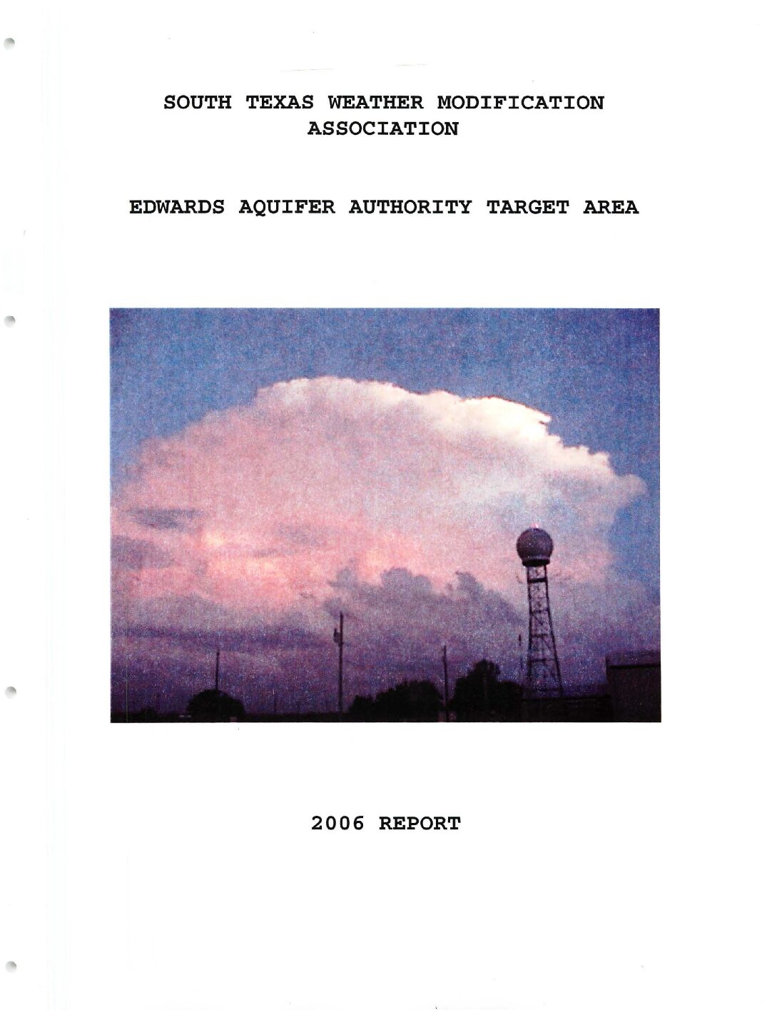
Description: Report of the Edwards Aquifer Authority weather modification program for 2006
Location: South Texas
Summary:2006 marked the fifth year of operations for the Edwards Aquifer Authority (EAA ) by the STWMA . Due to the dry weather experienced during much of the season, there were fewer opportunities for seeding compared to previous years. For the May-October period, there were 14 days on which cloud seeding operations took place within the target area. This compares with 25 days of seeding in 2005, 20 days of seeding in 2004, 22 days in 2003, and 8 days in 2002.
Cloud seeding missions did not take place in May due to convection occurring at night or warnings being issued. June fared a bit better, with two missions taking place during the second half of the month as a tropical airmass affected the area; however , high pressure domainated [sic] the area for a good part of the month, effectively capping the convective potential . The weather pattern became more conductive [sic] to favorable seeding conditions in July, with seeding taking place on six days . High pressure once again exerted its effects on the area during much of August:, although there were four days two near the beginning of the month and two near the end where clouds were seeded within the target area. September was quieter than usual, with only two days on which seeding operations took place. This turned out to be the end of the season, as no seeding took place during October.
Once the season concluded, Archie Ruiz, who works for Active Influence performing radar evaluations for the Texas weather modification projects, completed the radar evaluation of the program. Once again, the analysis shows that seeding may have produced favorable increases in rainfall, with apparent lifetime extensions in the seeded clouds along with other positive results. These numbers are presented and discussed towards the end of the report.
Unlike the past, the flight tracks are not included in the hard copy of the 2006 report; instead, they are on a CD attached to this report.
South Texas Weather Modification Association Edwards Aquifer Authority Target Area 2005 Report
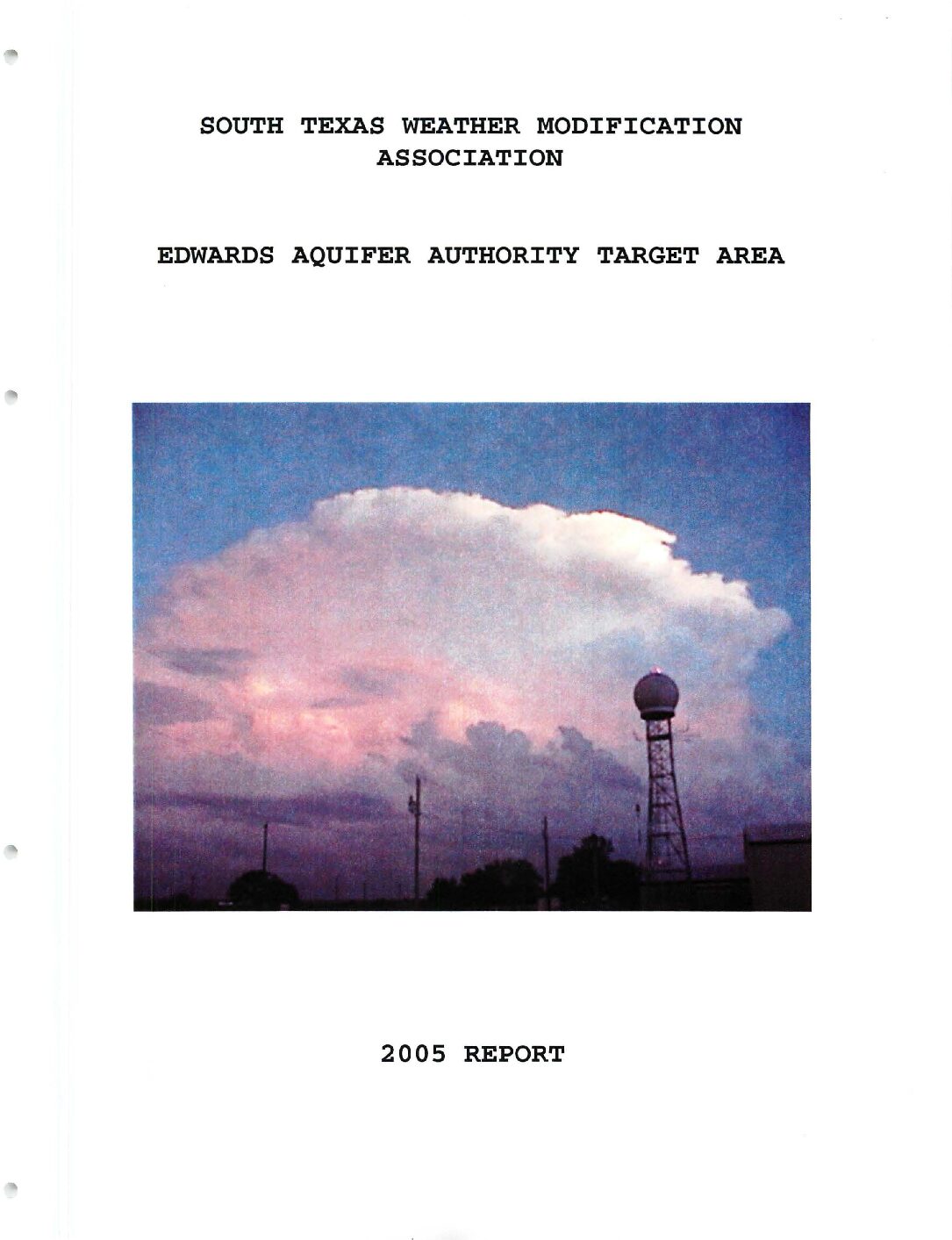
Description: Report of the Edwards Aquifer Authority weather modification program for 2005
Location: South Texas
Summary:2005 marked the fourth year of operations for the Edwards Aquifer Authority (EAA) by the STWMA. Once again, N57AA was stationed at Stinson Field (SSF) in south San Antonio. Two of our pilots, Ron Merks and Mickey Chadwell, were stationed there. They worked along with Jim Transue and Tim Pickens, stationed at Pleasanton, and Larry Dement, stationed at Kenedy. N57AA did not fly as much this season due to flare rack problems, but Jim Transue and N8847P were able to fly numerous seeding missions in the EAA target area, henceforth referred to as the target area.
2005 turned out to be a good year for seeding in the target area, with 25 days of seeding. This compares with 20 days of seeding in 2004, 22 days in 2003, and 8 days in 2002. May saw a few days with seedable clouds, but was quieter than usual. June was incredibly disappointing, with no seeding missions taking place due to high pressure sitting over the area, effectively capping the convective potential. July exhibited a dramatic swing from June, with seeding taking place on 11 days within the target area. The busier weather pattern continued into August, with seeding missions taking place on seven days. Things began to wind down as fall approached, with only three days of seeding in September, and two in October. Despite the increase in convective activity over last year, rainfall amounts were significantly less in 2005, with some areas reporting rainfall deficits by the end of the year in excess of ten inches; this was mainly over Bexar County. Areas a bit further west over Medina and Bandera counties saw rainfall amounts closer to normal, but still on the dry side. A brief discussion on the meteorological perspective of the weather in summer 2005, along with seeding events will be presented later in the report.
Once the season concluded, Archie Ruiz, who works for Active Influence performing radar evaluations for the Texas weather modification projects, completed the radar evaluation of the program. Once again, the analysis shows that seeding may have produced favorable increases in rainfall, with apparent lifetime extensions in the seeded clouds along with other positive results. These numbers are presented and discussed towards the end of the report.


