Calendar of Events
View More Info
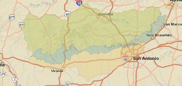
Aquifer Conditions
| Area Index | Today | Yesterday | Ten Day |
|---|---|---|---|
| Bexar (J-17) | 638 |
637.9 |
638.3 |
| Uvalde (J-27) | 836.8 |
836.9 |
837.4 |
| Comal Springs | 141 |
157 |
154 |
| San Marcos | 119 |
124 |
123 |
Provisional Daily water readings as of 9:00 AM
Last Updated on April 26 2024
10-Year Annual Recharge Average (2014-2023)
549,660 acre-feet
San Antonio Pool is in Stage 3 - 35% Reduction
Uvalde Pool is in Stage 5 - 44% Reduction
STEAM & School Education

At the EAA, our education program goal is to engage and inform eager, young minds about the Edwards Aquifer and the issues affecting it as our region’s primary water resource. Our presentations are targeted to specific audiences based on age and grade levels to encourage a common understanding and appreciation of our shared natural resource.
Aquifer Data
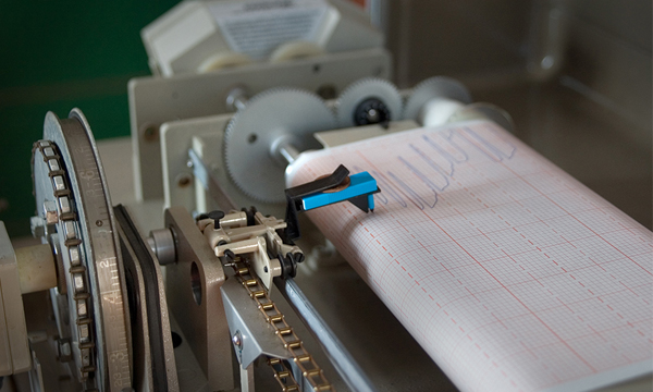
Water level data are critical for EAA’s management of the San Antonio Pool and the Uvalde Pool of the Edwards Aquifer. Water levels are measured around the clock using different devices monitoring wells throughout the aquifer. Water level data are used for many purposes, including as criteria for determining when to impose groundwater withdrawal restrictions on aquifer users during droughts and understanding and appreciating our shared natural resource.