Shapefiles
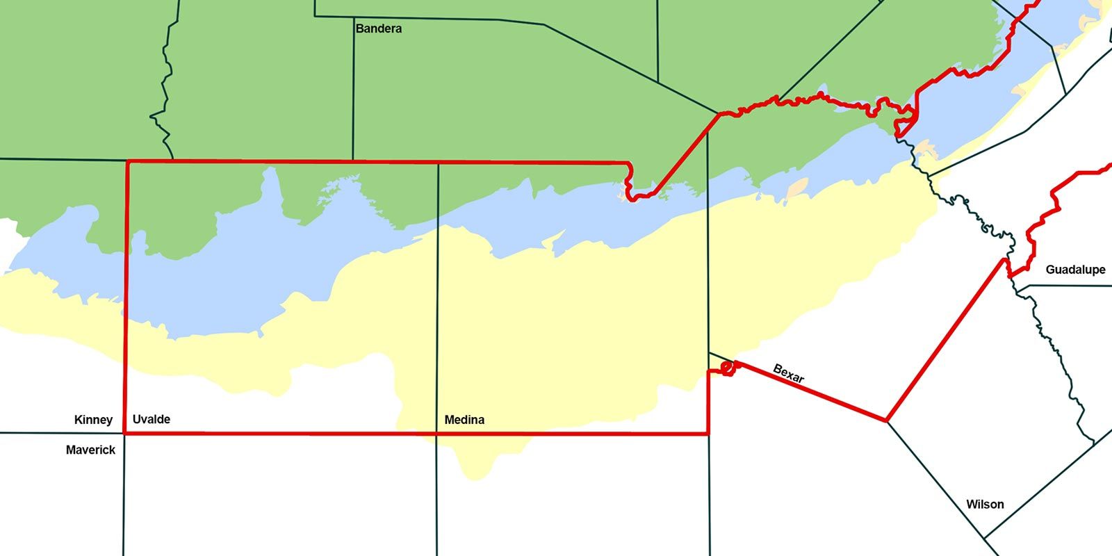
The Edwards Aquifer Authority maintains shapefiles that can be used with GIS Software. These include Edwards Aquifer Zones, EAA Districts, EAA Jurisdictional Boundary, Storage Tank Regulations, and Spill Reporting & Regulated Substances
The Edwards Aquifer Authority maintains shapefiles that can be used with GIS Software. These include Edwards Aquifer Zones, EAA Districts, EAA Jurisdictional Boundary, Storage Tank Regulations, and Spill Reporting & Regulated Substances